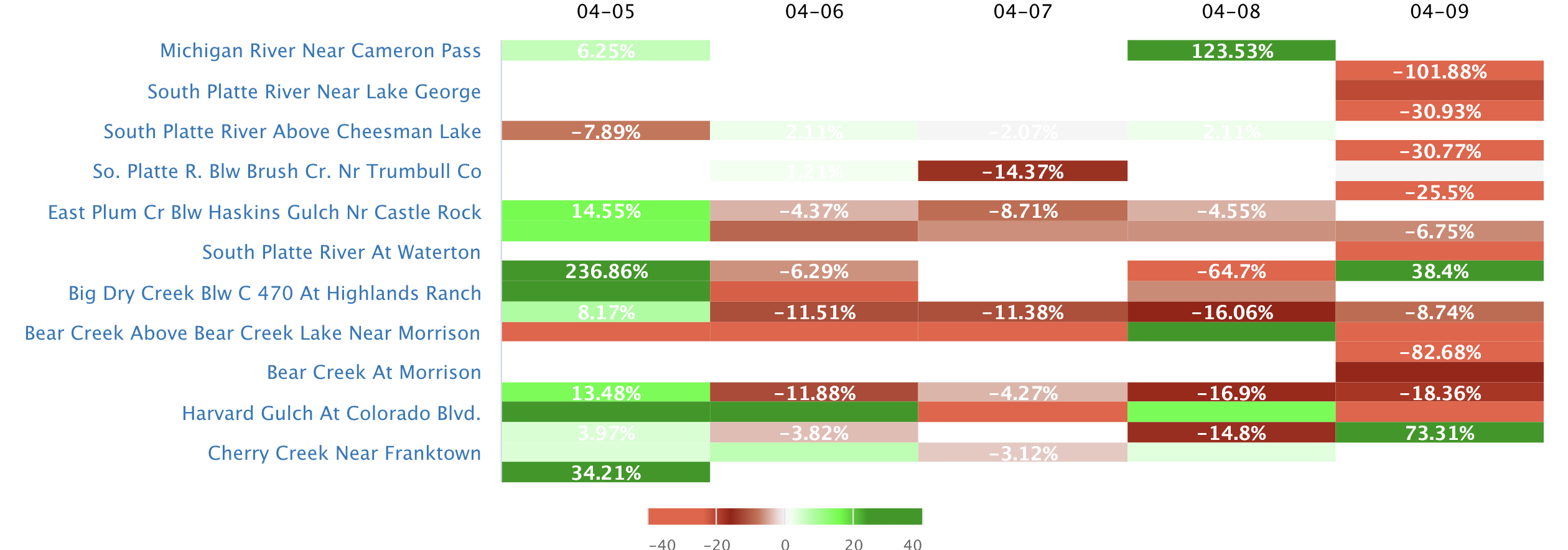
Streamflow levels across
Iowa
are currently
59.0% of normal, with the
Mississippi River At Clinton
reporting the highest discharge in the state with
66700cfs and gauge stage of 11.84 ft.
Meanwhile, the
Iowa River Below Coralville Dam Nr Coralville
is seeing a spike in streamflows today after experiencing a
13.45%
increase since yesterday, and currently running at
1130cfs.
Maximum gauge stage in the state was last observed at the
Cedar River At Cedar Falls, currently reporting a stage of
78.70ft.
The
Raccoon River Near West Des Moines
in the
North Raccoon
watershed
is surging for this time of year at
1290cfs, about
57.01% of normal.
Surface Flow Characteristics
Iowa is characterized by a humid continental climate and an extensive network of rivers, streams, and tributaries that supply water to major reservoirs and dams. The Des Moines River Basin, which includes the Raccoon River, provides the largest water source for the state. The Missouri River forms the western boundary of the state and is the second-largest river in Iowa. Other major rivers include the Cedar, Iowa, and Wapsipinicon. Snowmelt and rainfall are the primary sources of water in Iowa, with the state receiving an average of 32 inches of precipitation per year. The state experiences both droughts and floods, with the most severe flood in recent history occurring in 2008. The Iowa Watershed Approach is a comprehensive approach to flood management that involves watershed management, floodplain restoration, and green infrastructure.
Streamgauge Profile
Statewide Warnings & Alerts

Rivers of Iowa
Watersheds of Iowa
Popular Whitewater Destinations
| River Run | Status | Streamflow (CFS) | Air Temp (F) |
|---|


 Snoflo Premium