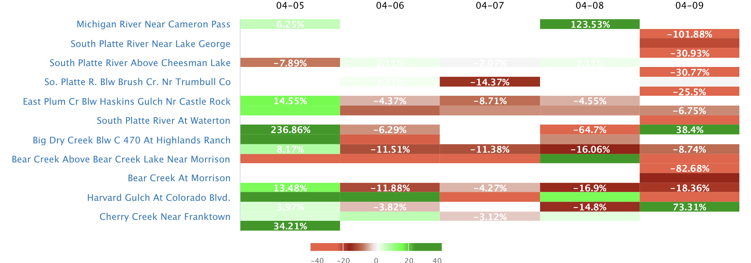
Streamflow levels across
Washington
are currently
65.0% of normal, with the
Columbia River Below Priest Rapids Dam
reporting the highest discharge in the state with
105000cfs and gauge stage of 14.5 ft.
Meanwhile, the
Mill Creek At Five Mile Rd Br Nr Walla Walla
is seeing a spike in streamflows today after experiencing a
217.0%
increase since yesterday, and currently running at
634cfs.
Maximum gauge stage in the state was last observed at the
Cowlitz River Near Kosmos, currently reporting a stage of
ft.
The
Crab Creek Near Beverly
in the
Lower Crab
watershed
is surging for this time of year at
262cfs, about
7.6% of normal.
Surface Flow Characteristics
Washington state is characterized by a diverse hydrology that is heavily influenced by its climate and geological features. The state's major surface flows are the Columbia River, Snake River, Yakima River, and Spokane River. These rivers are fed by numerous tributaries and are regulated by large reservoirs such as the Grand Coulee Dam and the Bonneville Dam. The state's mountainous terrain and heavy snowfall create significant watershed systems that contribute to river flow, with the snowpack in the Cascade Range being a primary contributor. Climate patterns such as El Niño and La Niña can impact precipitation rates and snowpack levels, leading to drought or flooding events. Overall, the hydrology of Washington is a complex and dynamic system that is heavily influenced by both natural and human factors.
Streamgauge Profile
Statewide Warnings & Alerts

Rivers of Washington
Watersheds of Washington
Popular Whitewater Destinations
| River Run | Status | Streamflow (CFS) | Air Temp (F) |
|---|---|---|---|
|
|
RUNNABLE | 390 | 48 |
|
|
36.25 | ||
|
|
RUNNABLE | 398 | 52 |


 Snoflo Premium