TORTILLA

Amenities Weather Recreation


CAMPING ARIZONA

Tortilla


April 20, 2024

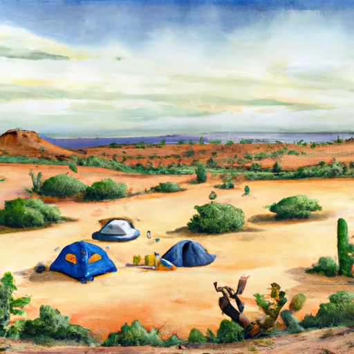
Tortilla Camping Area is a scenic camping destination located in the Tonto National Forest of Arizona. The campground offers stunning views of the Superstition Mountains and the surrounding desert landscape. The nearby points of interest include Canyon Lake and Tortilla Flat, a historic stagecoach stop turned tourist attraction.

The campground is equipped with basic amenities including vault toilets, picnic tables, and fire pits. The campground operates on a first-come, first-served basis and has a total of 77 campsites.

An interesting fact about this area is that it was once used as a filming location for Hollywood westerns, including "The Lone Ranger" and "Zane Grey Theatre."

The best time of year to visit Tortilla Camping Area is from October to April, with average temperatures ranging from the mid-60s to low 80s Fahrenheit. It is advised to avoid visiting during the summer months, as temperatures can reach over 100 degrees Fahrenheit.

Overall, Tortilla Camping Area is a great option for those seeking a scenic camping experience in Arizona.


Weather Outlook


16 Day Long Term Forecast

Seasonal Comparison


Historical Data


Fishing Destinations


Deadman Creek

Apache Trout Brown Trout Rainbow Trout

South Fork Deadman Creek

Apache Trout Black Sea Bass Brown Trout

Theodore Roosevelt Lake

Black Crappie Blue Catfish Bluegill Kelp Bass Largemouth Bass

Picacho Reservoir

Black Crappie Blue Catfish Green Sunfish Kelp Bass

Queen Creek

Blue Catfish Common Carp Green Sunfish Kelp Bass

Bartlett Reservoir

Black Crappie Black Sea Bass Blue Catfish Largemouth Bass


Rafting & Kayaking

MARSHALL GULCH RECREATION AREA TO WILDERNESS BOUNDARY
Rillito Watershed, Arizona
PUSCH RIDGE WILDERNESS BOUNDARY TO CONFLUENCE WITH CAÑADA DEL ORO
Upper Santa Cruz Watershed, Arizona
ARAVAIPA CREEK
Lower San Pedro Watershed, Arizona
HEADWATERS TO 1/4 MILE SOUTH OF FOREST ROAD 736
Upper Santa Cruz Watershed, Arizona
CIENEGA CREEK
Rillito Watershed, Arizona
HEADWATERS TO PUSCH RIDGE WILDERNESS BOUNDARY
Rillito Watershed, Arizona
HEADWATERS TO CORONADO NATIONAL FOREST BOUNDARY
Lower San Pedro Watershed, Arizona
GILA RIVER (MIDDLE)
Middle Gila Watershed, Arizona
WILDERNESS BOUNDARY TO CORONADO NATIONAL FOREST BOUNDARY
Rillito Watershed, Arizona
1/4 MILE SOUTH OF FOREST ROAD 736 TO CORONADO NATIONAL FOREST BOUNDARY
Upper Santa Cruz Watershed, Arizona

Log Your Visit

When was your last visit to Tortilla?

Add a Photo

How was it? How were conditions?

Rate the camping


Submit

Leave A Review

Tortilla

Submit

Upload an Image

Tortilla

Favorite Limit Reached