UPPER TONTO CREEK

Amenities Weather Recreation


CAMPING ARIZONA

Upper Tonto Creek


April 19, 2024

The Upper Tonto Creek Camping Area is located in the Tonto National Forest in Arizona, offering breathtaking views of the Mogollon Rim and nearby mountain ranges. The area is a popular destination for hiking, fishing, and wildlife viewing, with nearby attractions including the Tonto Fish Hatchery and the historic town of Payson.

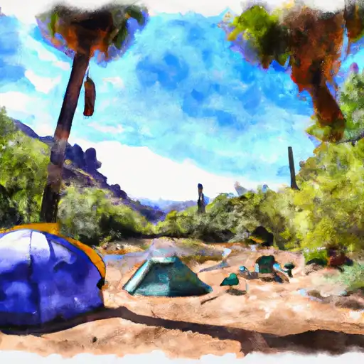
The campground offers 20 campsites, with amenities including picnic tables, fire rings, and vault toilets. The campground operates on a first-come-first-serve basis, making it a perfect option for last-minute camping trips or those who prefer a more spontaneous approach.

An interesting fact about the area is that it is home to one of the largest populations of black bears in Arizona, making it important to properly store food and garbage to prevent attracting bears to the campsites.

The best time of year to visit the Upper Tonto Creek Camping Area is from May to September when temperatures range from 75-85°F during the day and 50-60°F at night. However, visitors should be prepared for afternoon thunderstorms during the summer months. Overall, the Upper Tonto Creek Camping Area is a beautiful and peaceful destination for outdoor enthusiasts looking to experience the natural beauty and wildlife of Arizona.


Weather Outlook


16 Day Long Term Forecast

Seasonal Comparison


Historical Data


Rafting & Kayaking

HEADWATERS TO 1/4 MILE SOUTH OF FOREST ROAD 736
Upper Santa Cruz Watershed, Arizona
MARSHALL GULCH RECREATION AREA TO WILDERNESS BOUNDARY
Rillito Watershed, Arizona
1/4 MILE SOUTH OF FOREST ROAD 736 TO CORONADO NATIONAL FOREST BOUNDARY
Upper Santa Cruz Watershed, Arizona
WILDERNESS BOUNDARY TO CORONADO NATIONAL FOREST BOUNDARY
Rillito Watershed, Arizona
PUSCH RIDGE WILDERNESS BOUNDARY TO CONFLUENCE WITH CAÑADA DEL ORO
Upper Santa Cruz Watershed, Arizona
HEADWATERS TO CORONADO NATIONAL FOREST BOUNDARY
Lower San Pedro Watershed, Arizona
GILA RIVER (MIDDLE)
Middle Gila Watershed, Arizona
ARAVAIPA CREEK
Lower San Pedro Watershed, Arizona
ARNETT CREEK - FOREST ROAD #4 TO MIDDLE OF SEC 7,T2S, R12E
Middle Gila Watershed, Arizona
HEADWATERS TO PUSCH RIDGE WILDERNESS BOUNDARY
Rillito Watershed, Arizona

Log Your Visit

When was your last visit to Upper Tonto Creek?

Add a Photo

How was it? How were conditions?

Rate the camping


Submit

Leave A Review

Upper Tonto Creek

Submit

Upload an Image

Upper Tonto Creek

Favorite Limit Reached