BRITE VALLEY RESERVOIR
Species
•
Weather
•
Hydrology
FISHING
•
CALIFORNIA
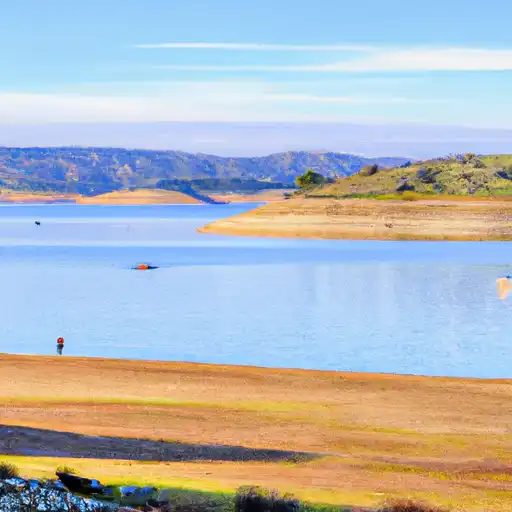
Brite Valley Reservoir
Brite Valley Reservoir fishing area is located in the heart of the Eastern Sierra Mountains in California, USA. The reservoir is home to several fish species such as rainbow trout, brown trout, and catfish. Fishing enthusiasts can enjoy fly fishing, bait casting, and trolling. Nearby activities include hiking, camping, and kayaking. The best time to visit is during the summer months when the weather is warm, and the fish are active. The average temperature during this time is around 80°F, making it perfect for outdoor activities. Fishing tips include using lures or bait that mimic the fish's natural food source and fishing in the early morning or late evening when the fish are most active.
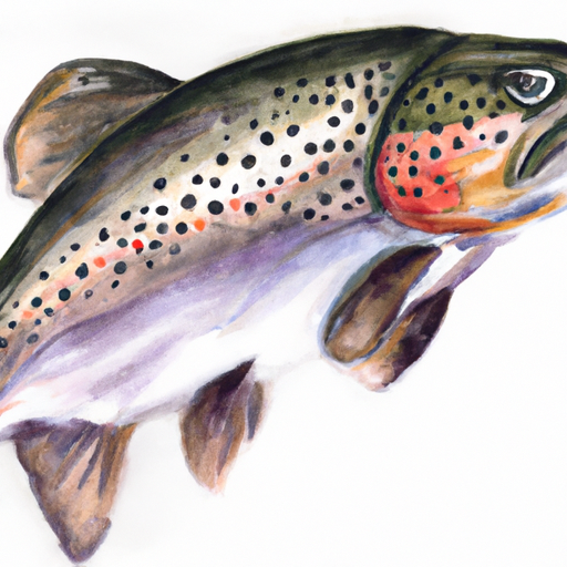
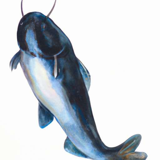
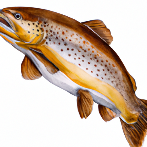
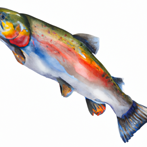
Fish Species
Apache Trout
Blue Catfish
Brown Trout
Rainbow Trout
Weather Outlook
16 Day Long Term Forecast
Regional Streamflow Levels
Area Boat Ramps
HIGHWAY 178 10716-10726, LAKE ISABELLA
Upper Kern Watershed, California
SANDY FLAT PUT-IN/TAKE-OUT BOATING SITE
Middle Kern-Upper Tehachapi- Watershed, California
KERN CANYON ROAD BODFISH
Middle Kern-Upper Tehachapi- Watershed, California
DAEDRICH RANCH ROAD, WOFFORD HEIGHTS
Upper Kern Watershed, California
KERN CANYON ROAD BODFISH
Middle Kern-Upper Tehachapi- Watershed, California
WOOLLOMES AVENUE 32557-32869, DELANO
Tulare-Buena Vista Lakes Watershed, California
KERN COUNTY
South Fork Kern Watershed, California
MIRACLE HOT SPRINGS PICNIC SITE
Middle Kern-Upper Tehachapi- Watershed, California
KERN COUNTY
South Fork Kern Watershed, California
DELONEGHA RIVER ACCESS BOATING SITE
Middle Kern-Upper Tehachapi- Watershed, California
Rafting & Kayaking
EAST FORK - CONFLUENCE OF VINCENT GULCH AND PRAIRIE FORK (NW 1/4, SW 1/4 SEC 16 ) TO LAUREL GULCH (NW 1/4, SW 1/4, SEC 17, T2N, R8W)
San Gabriel Watershed, California
MAINSTREAM - CONFLUENCE WITH COOPER CANYON TO CONFLUENCE WIT SOUTH FORK LITTLE ROCK CREEK
Antelope-Fremont Valleys Watershed, California
LAUREL GULCH TO CONFLUENCE WITH MINEO CANYON (SE 1/4, SW 1/4, SEC 17, T2N, R8W)
San Gabriel Watershed, California
NORTH FORK - CONFLUENCE OF SOLDIER AND COLDBROOK CREEKS (SE1/4,SW1/4, SEC) 5, T2N,,R9W TO CONFLLUENCE WITH WEST FORK OF SAN GABRIEL (SW 1/4,SW1/4, SEC 17, T2N, R8W)
San Gabriel Watershed, California
COOPER CANYON- NEAR STATE HIGHWAY 2 (SW 1/4, NE 1/4, SEC 16, T3N, R10W TO CONFLUENCE WITH LITTLE ROCK CREEK
Antelope-Fremont Valleys Watershed, California
WEST FORK - HEADWATERS (SE 1/4, NE 1/4, SEC 14, T2N, R12W) TO COGSWELL RESERVOIR (NE 1/4, SW 1/4, SEC 24, T2N, R9W
Los Angeles Watershed, California
MIDDLE FORK - COMMANCHE CAMPSITE TO MIDDLE FORK TRAILHEAD
Santa Ana Watershed, California
MAINSTREAM - HEADWATERS TO CONFLUENCE WITH COOPER CANYON
Antelope-Fremont Valleys Watershed, California
HEADWATERS IN THE SANTA MONICA MOUNTAINS TO MOUTH AT PACIFIC OCEAN
Santa Monica Bay Watershed, California
GAGING STATION BELOW SPILLWAY OF COGSWELL DAM (NE 1/4, SE 1/4, SEC 19, T2N, R10W) TO CONFLUENCE WITH NF SAN GABRIEL RIVER (SW 1/4.SW 1/4, SEC 15, T2N, R9W)
San Gabriel Watershed, California
Leave A Review
Brite Valley Reservoir
Submit
×
Delete User Account
Deleting your account will permanently remove all your data including preferences, favorites, alerts, and any subscriptions.
I am sure I want to delete my account
×
We recently sent an account verification email to
.
Please follow the instructions in the email to verify your account.
×
Favorite Limit Reached
Your free user account comes with 3 free favorites.
Manage Your Favorites
×