MOJAVE NARROWS REGIONAL PARK LAKE

Species Weather Hydrology


FISHING CALIFORNIA

Mojave Narrows Regional Park Lake


April 19, 2024

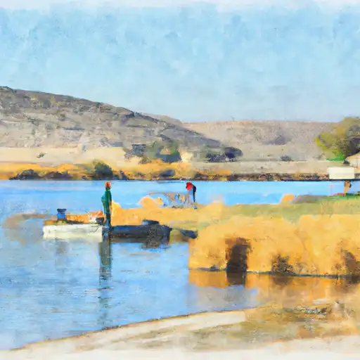
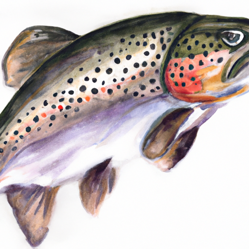
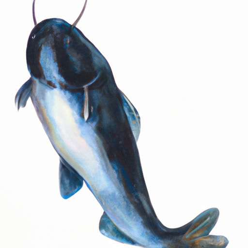
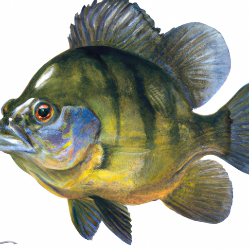
Mojave Narrows Regional Park Lake is a popular fishing spot located in Victorville, California. The lake is home to various fish species, including trout, catfish, bass, and bluegill, making it an excellent spot for anglers. The park also offers activities such as camping, hiking, picnicking, and wildlife viewing. For fishing, anglers are encouraged to use live bait or lures to catch their desired fish. The best time to visit is during spring or fall with average temperatures ranging from 60-85°F. Overall, Mojave Narrows Regional Park Lake is a great spot for outdoor enthusiasts looking to enjoy a day of fishing and nature.


Fish Species
Image Alt Apache Trout
Image Alt Blue Catfish
Image Alt Bluegill
Image Alt Kelp Bass

Weather Outlook


16 Day Long Term Forecast

Seasonal Comparison


Historical Data


Rafting & Kayaking

SAN MATEO WILDERNESS BOUNDARY TO NF BOUNDARY WITH CAMP PENDLETON
Aliso-San Onofre Watershed, California
SANTA MARGARITA RIVER
Santa Margarita Watershed, California
DEVIL CANYON TRIBUTARY TO SAN MATEO CREEK
Aliso-San Onofre Watershed, California
CROUCH RANCH TO MORENA RESERVOIR
Cottonwood-Tijuana Watershed, California
FOREST BOUNDARY, ABOVE ZOO CREEK BELOW SPILLWAY (S1/2, SEC 3, T11S, R2E) TO LA JOLLA INDIAN RESERVATION BOUNDARY (N1/2, SEC 31, T10S, R2E)
San Luis Rey-Escondido Watershed, California
PALM CANYON
Salton Sea Watershed, California
MISSION CREEK
Salton Sea Watershed, California
MISSION CREEK
Salton Sea Watershed, California
SANTA MARGARITA RIVER
Santa Margarita Watershed, California
CONFLUENCE OF FRY AND IRON SPRING CREEKS (E1/2, SEC 3, T10S,R1E TO SE1/4 SEC 16, T10S, R2E
San Luis Rey-Escondido Watershed, California

Parks & Recreation


Helmers Park

Leroy Jackson Park

Red Rock Canyon State Park

E Park

Borax Bill Park

Wilderness Kiavah

Grass Valley Wilderness

El Paso Mountains Wilderness

Golden Valley Wilderness

Galileo Park


RED ROCK SCENIC OVERLOOK
HEAPS PEAK ARBORETUM DAY USE AREA
MOUNTAIN HOME VILLAGE SCENIC OVERLOOK
EXIT CHECK STATION
The Exit Check Station in the Mojave watershed of California is a checkpoint that monitors for invasive species and agricultural pests. It is located on the eastbound Interstate 40, just ...
SUMMIT SCENIC OVERLOOK
NORTH ANDERSON DRY LAKE
North Anderson Dry Lake is located in the Southern Mojave watershed of California, and it is a popular destination for visitors who are looking to enjoy a unique outdoor experience. ...
FEE STATION / EAST SIDE
The Fee Station East Side is located in the Mojave watershed of California and is a popular destination for nature lovers and outdoor enthusiasts. This area is known for its ...
CHAPARRAL NEIGHBORHOODS NATIVE PLANT GARDEN
LAKE SILVERWOOD SCENIC OVERLOOK
ANDERSON DRY LAKE
Anderson Dry Lake is a popular destination located in the Southern Mojave watershed of California. The lake is a large, dry salt flat that covers about 32 square miles and ...

Log Your Visit

When was your last visit to Mojave Narrows Regional Park lake?

Add a Photo

How was it? How were conditions?

Rate the backcountry skiing


Submit

Leave A Review

Mojave Narrows Regional Park Lake

Submit

Upload an Image

Mojave Narrows Regional Park Lake

Favorite Limit Reached