
Hubbell D.T. Reservoir Report
Nearby: Allied Materials Corp. Webb & Newell
Last Updated: December 7, 2025
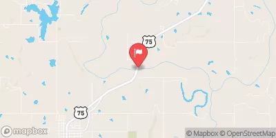
Hubbell D.T.
°F
°F
mph
Wind
%
Humidity
Summary
is a privately owned earth dam located in Ritts Junction, Oklahoma. Built in 1960, this structure stands at 20 feet tall and spans a length of 290 feet, with a storage capacity of 80 acre-feet. Situated on TR-Salt Creek, it serves a primary purpose that is categorized as "Other," with a spillway type designated as "Controlled."
Managed and regulated by the Oklahoma Water Resources Board (OWRB), Hubbell D.T. has a low hazard potential and a very high risk assessment rating. Despite being classified as "Not Rated" in terms of condition assessment, the dam undergoes regular inspections every five years, with the last one conducted in August 2011. It boasts a single valve outlet gate and is equipped to discharge a maximum of 5400 cubic feet per second.
For water resource and climate enthusiasts, Hubbell D.T. presents a fascinating case study in dam infrastructure and management. Its strategic location in Creek County, Oklahoma, amidst a network of waterways and reservoirs, underscores the importance of maintaining and monitoring such structures to ensure water safety and security for the surrounding communities. The collaborative efforts between private ownership and state regulatory agencies like the OWRB demonstrate a commitment to responsible water resource management in the face of changing environmental conditions and emerging challenges.
Year Completed |
1960 |
Dam Length |
290 |
Dam Height |
20 |
River Or Stream |
TR-SALT CREEK |
Primary Dam Type |
Earth |
Surface Area |
2 |
Hydraulic Height |
20 |
Nid Storage |
80 |
Structural Height |
20 |
Outlet Gates |
Valve - 1 |
Hazard Potential |
Low |
Foundations |
Soil |
Nid Height |
20 |
Seasonal Comparison
Weather Forecast
Nearby Streamflow Levels
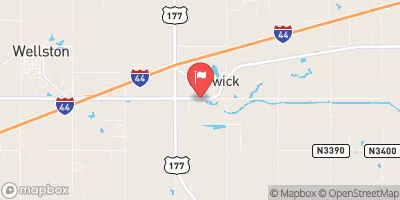 Deep Fork At Warwick
|
23cfs |
 Cimarron River Near Ripley
|
528cfs |
 North Canadian River At Shawnee
|
193cfs |
 Deep Fork Near Beggs
|
135cfs |
 North Canadian River Near Harrah
|
122cfs |
 North Canadian River Near Wetumka
|
205cfs |
Dam Data Reference
Condition Assessment
SatisfactoryNo existing or potential dam safety deficiencies are recognized. Acceptable performance is expected under all loading conditions (static, hydrologic, seismic) in accordance with the minimum applicable state or federal regulatory criteria or tolerable risk guidelines.
Fair
No existing dam safety deficiencies are recognized for normal operating conditions. Rare or extreme hydrologic and/or seismic events may result in a dam safety deficiency. Risk may be in the range to take further action. Note: Rare or extreme event is defined by the regulatory agency based on their minimum
Poor A dam safety deficiency is recognized for normal operating conditions which may realistically occur. Remedial action is necessary. POOR may also be used when uncertainties exist as to critical analysis parameters which identify a potential dam safety deficiency. Investigations and studies are necessary.
Unsatisfactory
A dam safety deficiency is recognized that requires immediate or emergency remedial action for problem resolution.
Not Rated
The dam has not been inspected, is not under state or federal jurisdiction, or has been inspected but, for whatever reason, has not been rated.
Not Available
Dams for which the condition assessment is restricted to approved government users.
Hazard Potential Classification
HighDams assigned the high hazard potential classification are those where failure or mis-operation will probably cause loss of human life.
Significant
Dams assigned the significant hazard potential classification are those dams where failure or mis-operation results in no probable loss of human life but can cause economic loss, environment damage, disruption of lifeline facilities, or impact other concerns. Significant hazard potential classification dams are often located in predominantly rural or agricultural areas but could be in areas with population and significant infrastructure.
Low
Dams assigned the low hazard potential classification are those where failure or mis-operation results in no probable loss of human life and low economic and/or environmental losses. Losses are principally limited to the owner's property.
Undetermined
Dams for which a downstream hazard potential has not been designated or is not provided.
Not Available
Dams for which the downstream hazard potential is restricted to approved government users.
 Hubbell D.T.