

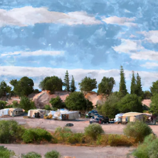
Gila County RV Park
Amenities • Weather • Recreation
May 30, 2024
°F
°F
mph
Windspeed
%
Humidity
Explore the Interactive Map
View recreational hotspots like fishing, camping, and parks, alongside climate-related data such as river levels, snowpack, and weather forecasts. Enjoy 3D mapping for an immersive experience, and switch to satellite view for a detailed look at your favorite spots. Simply click, explore, and discover nature like never before!

Popular Camping Destinations
| Camping Area | Campsites | Reservations | Toilets | Showers | Elevation |
|---|---|---|---|---|---|
| Valentine Ridge | 10 | 6,656 ft | |||
| Black Canyon Rim | 21 | 7,572 ft | |||
| Upper Canyon Creek | 10 | 6,522 ft | |||
| Houston Mesa | 30 | 5,039 ft | |||
| Fool Hollow State Rec Area | 123 | 6,302 ft | |||
| Gentry | 6 | 7,699 ft | |||
| Flowing Springs | 40 | 4,580 ft | |||
| Ponderosa | 61 | 5,680 ft | |||
| Haigler Canyon | 14 | 5,314 ft | |||
| Show Low Lake | 71 | 6,580 ft |
View all
Fishing Areas
View all
Points of Interest
You Might Like
Explore Nearby Places

Wilderness Sierra Ancha, located in the state of Arizona, offers visitors a stunning and diverse landscape, making it a popular destination for outdoor enthusiasts. Here is a summary of the area, including good reasons to visit, specific points of interest, interesting facts, and the best time of year to visit, which has been verified across multiple independent sources. Good Reasons to Visit: 1. Breathtaking Scenery: Wilderness Sierra Ancha boasts picturesque mountains, canyons, and rugged landscapes, providing excellent opportunities for hiking, camping, and photography. 2. Abundant Wildlife: The area is home to a variety of wildlife species, including mule deer, elk, ...