

Goose Creek
Amenities • Weather • Recreation
May 31, 2024
°F
°F
mph
Windspeed
%
Humidity
Explore the Interactive Map
View recreational hotspots like fishing, camping, and parks, alongside climate-related data such as river levels, snowpack, and weather forecasts. Enjoy 3D mapping for an immersive experience, and switch to satellite view for a detailed look at your favorite spots. Simply click, explore, and discover nature like never before!

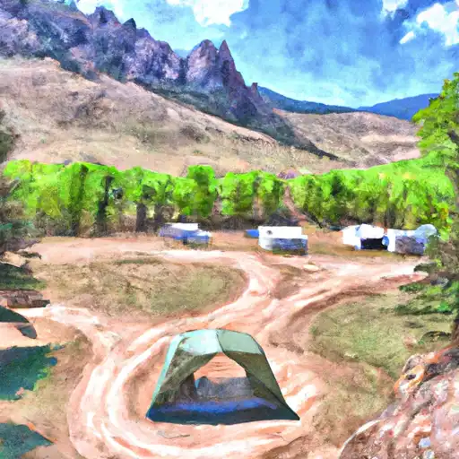
Popular Camping Destinations
| Camping Area | Campsites | Reservations | Toilets | Showers | Elevation |
|---|---|---|---|---|---|
| Yucca - Lathrop State Park | 21 | 6,426 ft | |||
| Pinon - Lathrop State Park | 82 | 6,449 ft | |||
| San Luis State Park | 51 | 7,511 ft | |||
| Ophir Creek | 31 | 8,884 ft | |||
| La Vista - Lake Isabel | 29 | 8,592 ft | |||
| Southside - Lake Isabel | 8 | 8,551 ft | |||
| Greenhorn Meadows Park | 26 | 5,938 ft | |||
| Pinyon Flats - Sand Dunes National Monument | 88 | 8,261 ft | |||
| North Crestone Creek | 13 | 8,474 ft | |||
| St. Charles | 15 | 8,636 ft |
You Might Like
Explore Nearby Places
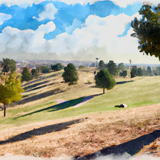
Bingham Hill Park is a beautiful and scenic park located in the state of Colorado. There are many good reasons to visit this park, including the stunning views of the surrounding mountains, the peaceful atmosphere, and the opportunity to enjoy a variety of outdoor activities. Some of the specific points of interest to see at Bingham Hill Park include the hiking trails that wind through the park, the picnic areas that are perfect for a relaxing afternoon with family and friends, and the wildlife that can be spotted in the area. One interesting fact about Bingham Hill Park is that ...