

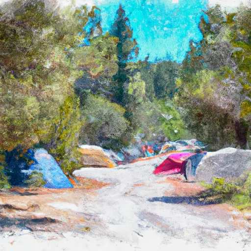
Jeanette Campground
Amenities • Weather • Recreation
May 31, 2024
°F
°F
mph
Windspeed
%
Humidity
Explore the Interactive Map
View recreational hotspots like fishing, camping, and parks, alongside climate-related data such as river levels, snowpack, and weather forecasts. Enjoy 3D mapping for an immersive experience, and switch to satellite view for a detailed look at your favorite spots. Simply click, explore, and discover nature like never before!

Popular Camping Destinations
| Camping Area | Campsites | Reservations | Toilets | Showers | Elevation |
|---|---|---|---|---|---|
| Corral Creek | 8 | 4,699 ft | |||
| Hammer Creek | Numerous | 1,465 ft | |||
| Pittsburg - Hells Canyon | 28 | 1,223 ft | |||
| Island Bar | Numerous | 1,767 ft | |||
| Orogrande Summit | 5 | 7,244 ft | |||
| Halfway House | 4 | 5,064 ft | |||
| North Slate Creek | 6 | 1,590 ft | |||
| Shorts Bar | Numerous | 1,771 ft | |||
| Spring Bar | 17 | 1,846 ft | |||
| North Fork Slate Creek | 5 | 2,848 ft |
View all
Points of Interest
You Might Like
Explore Nearby Places

The Gospel-Hump Wilderness is a 206,053-acre protected wilderness area situated in Idaho, USA. It is known for its rugged terrain, spectacular mountain scenery, and diverse wildlife. The area is a popular destination for outdoor enthusiasts, hikers, and nature lovers. One of the main reasons to visit the Gospel-Hump Wilderness is to experience the stunning natural beauty of the area. The landscape includes deep canyons, high peaks, alpine lakes, and forests of pine and fir trees. There are also several points of interest to see, such as the Gospel Mountains, the Salmon River Canyon, and the Clearwater Mountains. The Gospel-Hump Wilderness ...