

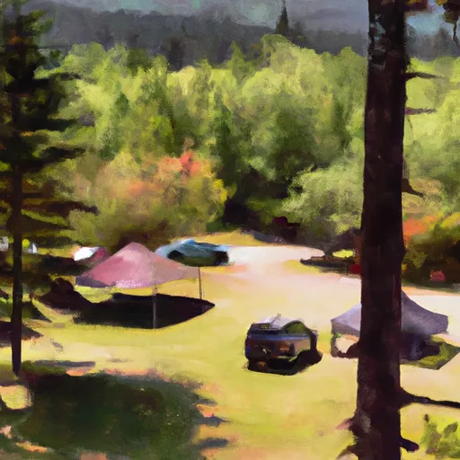


Kanaskat-Palmer State Park Campground
Amenities • Weather • Recreation
May 20, 2024
°F
°F
mph
Windspeed
%
Humidity
Explore the Interactive Map
View recreational hotspots like fishing, camping, and parks, alongside climate-related data such as river levels, snowpack, and weather forecasts. Enjoy 3D mapping for an immersive experience, and switch to satellite view for a detailed look at your favorite spots. Simply click, explore, and discover nature like never before!

Popular Camping Destinations
| Camping Area | Campsites | Reservations | Toilets | Showers | Elevation |
|---|---|---|---|---|---|
| Oak Harbor City Beach Park | Numerous | 10 ft | |||
| Kayak Point Regional Park | Numerous | 8 ft | |||
| Buck Creek | 39 | 1,224 ft | |||
| Bedal | 22 | 1,279 ft | |||
| Camano Island State Park | 88 | 181 ft | |||
| William C. Dearinger- State Forest | 12 | 504 ft | |||
| Fort Casey State Park | 35 | 11 ft | |||
| River Meadows County Park | Numerous | 202 ft | |||
| Squire Creek County Park | 33 | 575 ft | |||
| Jim Creek Wilderness Military | Numerous | 1,532 ft |
View all
Fishing Areas
You Might Like
Explore Nearby Places

The Wilderness Norse Peak is a stunning recreation area located in the state of Washington, offering visitors a plethora of reasons to explore its natural wonders. With its breathtaking landscapes, diverse wildlife, and rich history, it attracts nature enthusiasts, hikers, and adventure seekers alike. One of the primary reasons to visit the Wilderness Norse Peak is its incredible scenery. This pristine wilderness encompasses a diverse range of ecosystems, including alpine meadows, old-growth forests, sparkling lakes, and towering mountain peaks. The area is a paradise for hiking enthusiasts, offering numerous trails that cater to different skill levels and interests. One notable ...