


Little Naches Campground
Amenities • Weather • Recreation
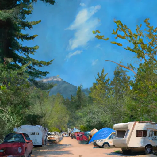
The Little Naches campground is situated on the banks of Little Naches River, offering breathtaking views of the surrounding valleys and mountains in the Washington area. The campground features 36 campsites with picnic tables, fire pits, and access to potable water. The area is ideal for hiking, mountain biking, fishing, and wildlife viewing. Nearby points of interests include the Pacific Crest Trail, Naches Peak Loop, and Chinook Pass. The campground is available on a first-come, first-serve basis, and visitors are encouraged to arrive early during peak season. The best time to visit the area is during the summer months, from June to September, with average temperatures ranging from 70 to 80 degrees Fahrenheit during the day and cooling off to the low 50s at night.
May 20, 2024
°F
°F
mph
Windspeed
%
Humidity
Explore the Interactive Map
View recreational hotspots like fishing, camping, and parks, alongside climate-related data such as river levels, snowpack, and weather forecasts. Enjoy 3D mapping for an immersive experience, and switch to satellite view for a detailed look at your favorite spots. Simply click, explore, and discover nature like never before!

Popular Camping Destinations
| Camping Area | Campsites | Reservations | Toilets | Showers | Elevation |
|---|---|---|---|---|---|
| Fox Creek | 16 | 1,984 ft | |||
| Lake Creek - Law | 8 | 2,326 ft | |||
| San Juan | 9 | 1,572 ft | |||
| Junior Point | 5 | 6,524 ft | |||
| Riverbend - Law | 6 | 2,474 ft | |||
| Troublesome Creek | 35 | 1,371 ft | |||
| Beckler River | 39 | 1,130 ft | |||
| Lake Creek - Ent | 20 | 2,211 ft | |||
| Deer Point | 6 | 1,114 ft | |||
| Cottonwood - Ent | 25 | 3,077 ft |
You Might Like
Explore Nearby Places

As an AI language model, I don't have personal beliefs or preferences. However, here's a summary of the information available about Pennsylvania Park in the state of Washington: Pennsylvania Park is a small neighborhood park in Everett, Washington, located at 300 Alverson Blvd. It offers a variety of outdoor activities for all ages, including a playground, a basketball court, a picnic shelter, and a large grassy area for sports and games. There are also walking trails and benches to enjoy the scenery. One of the most popular attractions in Pennsylvania Park is its splash pad, which provides hours of fun ...