


Saline River
Species • Weather • Hydrology
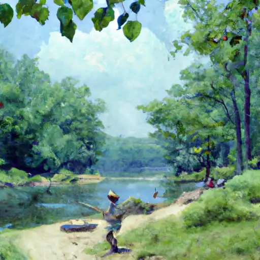
The Saline River in Arkansas is known for its excellent fishing opportunities. Anglers can catch a variety of fish species such as smallmouth and largemouth bass, catfish, and crappie. Nearby activities include hiking and camping in the nearby Ouachita National Forest. Fishing tips include using live bait or lures that resemble the river's natural prey. The best time to visit is in the spring or fall when temperatures average around 60-70℉. In the summer, temperatures can reach over 90℉, making it uncomfortable for some visitors.
May 19, 2024
°F
°F
mph
Windspeed
%
Humidity
Explore the Interactive Map
View recreational hotspots like fishing, camping, and parks, alongside climate-related data such as river levels, snowpack, and weather forecasts. Enjoy 3D mapping for an immersive experience, and switch to satellite view for a detailed look at your favorite spots. Simply click, explore, and discover nature like never before!

Popular Camping Destinations
| Camping Area | Campsites | Reservations | Toilets | Showers | Elevation |
|---|---|---|---|---|---|
| Viney Creek | Numerous | 930 ft | |||
| Aunts Creek - Table Rock Lake | Numerous | 998 ft | |||
| Long Creek - Table Rock Lake | Numerous | 1,001 ft | |||
| Big Bay - Table Rock Lake | 61 | 1,022 ft | |||
| Eagle Rock - Table Rock Lake | Numerous | 988 ft | |||
| Viola - Table Rock Lake | Numerous | 1,017 ft | |||
| Cape Fair - Table Rock Lake | Numerous | 966 ft | |||
| Big M - Table Rock Lake | Numerous | 924 ft | |||
| Indian Point - Table Rock Lake | Numerous | 1,040 ft | |||
| Baxter - Table Rock Lake | Numerous | 941 ft |
You Might Like
Explore Nearby Places

Pinehurst Estates Park is a beautiful park located in the state of Kansas. The park is a great place to visit for families, nature enthusiasts, and anyone looking for a peaceful retreat. The park features a variety of amenities including a playground, basketball court, hiking trails, and picnic areas. One of the main points of interest at Pinehurst Estates Park is the beautiful lake, which is a popular spot for fishing and boating. Visitors can rent paddle boats and canoes to explore the lake, or simply relax on the shore and enjoy the scenery. Other points of interest at Pinehurst ...