

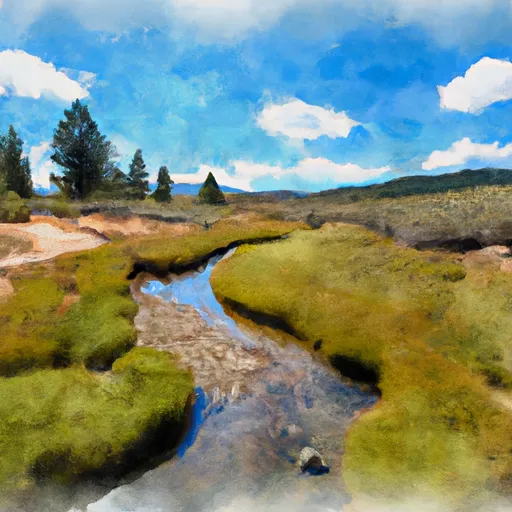
California Whitewater
BLARNEY MEADOWS TO SOUTH END OF FLORENCE LAKE
STREAMFLOW: 381 CFS
• Class II River Run
The Whitewater River Run from Blarney Meadows to the south end of Florence Lake in California is a popular destination for experienced kayakers and rafters. The ideal streamflow range for this section is between 500 and 1,500 cubic feet per second (cfs). The class rating of the river ranges from class II to IV, with the most challenging rapids located between Devil's Postpile and Rainbow Falls.
The segment mileage for this section of the river is approximately 15 miles, with a total trip time of 1-2 days. Some of the notable rapids and obstacles on this stretch of the river include Devil's Postpile, Upper and Lower Rainbow Falls, and VVR Rapid. It is important for kayakers and rafters to be aware of the potential hazards of each rapid and to take necessary precautions.
There are specific regulations in place for this area, including a permit requirement for overnight camping and a restriction on campfires. Additionally, visitors are required to adhere to Leave No Trace principles and to pack out all trash and waste.
Overall, the Whitewater River Run from Blarney Meadows to the south end of Florence Lake is a challenging and exciting destination for experienced kayakers and rafters. It is important for visitors to be aware of the specific regulations and safety considerations for this area to ensure a safe and enjoyable trip. Get driving directions.
| Last Updated | 2024-04-25 |
| River Levels | 886 cfs (5.98 ft) |
| Percent of Normal | 151% |
| Reporting Streamgauge | MF SAN JOAQUIN R NR MAMMOTH LAKES CA |
| Elevation | 7,593 ft. |
| River | |
| Watershed | Upper San Joaquin |
Nearby Camping
| Location | Campsites | Reservations | Toilets | Showers | Elevation |
|---|---|---|---|---|---|
| Vermillion | 32 | 7,663 ft | |||
| Mono Hot Springs | 28 | 6,555 ft | |||
| Portal Forebay | 10 | 7,179 ft | |||
| Marmot Rock | 15 | 8,225 ft | |||
| Sawmill Flat | 10 | 6,720 ft | |||
| Trapper Springs | Numerous | 8,343 ft | |||
| Lily Pad | 15 | 6,553 ft | |||
| Jackass Meadow | 48 | 7,170 ft | |||
| Buck Meadow | 9 | 6,758 ft |
Weather Forecast
