

New-Mexico Whitewater
HEADWATERS TO CONFLUENCE WITH BIG DRY CREEK
STREAMFLOW: 212 CFS
• Class II-III River Run
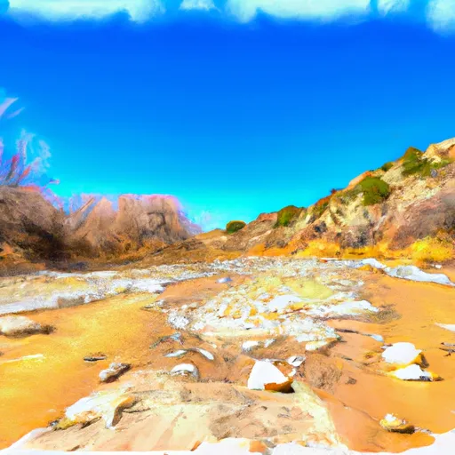
The Whitewater River, also known as the Rio Pueblo de Taos, is a popular river run in New Mexico. The ideal streamflow range for this river is between 100 and 300 cubic feet per second (cfs), and the river is classified as Class II-III. The segment mileage of this river run is approximately 13 miles, starting at the Headwaters and ending at the Confluence with Big Dry Creek.
There are several notable rapids and obstacles along the way, including Powerline Rapid, Double Drop Rapid, and Rock Garden. Powerline Rapid is a Class III rapid with a steep drop and a strong hydraulic at the bottom. Double Drop Rapid is another Class III rapid with two drops that require precise maneuvering. Rock Garden is a Class II rapid with several large boulders that require careful navigation.
It is important to note that the Whitewater River is located within the Taos Pueblo Indian Reservation, and visitors must obtain a permit from the Taos Pueblo in order to access the river. Additionally, visitors must respect the cultural and natural resources of the area, including avoiding trespassing on private property and leaving no trace.
Overall, the Whitewater River run is a thrilling and scenic adventure for experienced whitewater enthusiasts. It is important to check streamflow levels before embarking on the river, as high water levels can make the rapids more challenging and dangerous. Get driving directions.
| Last Updated | 2024-04-25 |
| River Levels | 42 cfs (1.74 ft) |
| Percent of Normal | 299% |
| Reporting Streamgauge | SAN FRANCISCO RIVER NEAR GLENWOOD, NM |
| Elevation | 4,557 ft. |
| River | |
| Watershed | San Francisco |
Nearby Camping
| Location | Campsites | Reservations | Toilets | Showers | Elevation |
|---|---|---|---|---|---|
| South Fork Negrito | 7 | 7,435 ft | |||
| Ben Lilly | 7 | 8,019 ft |
Weather Forecast
