

New-Mexico Whitewater
ARROYO HONDO
STREAMFLOW: 821 CFS
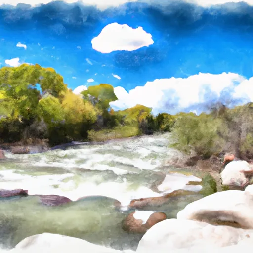
The Arroyo Hondo is a popular whitewater river run located in the state of New Mexico. The ideal streamflow range for this river is between 250 and 600 cfs, which provides a challenging and exciting run for experienced kayakers and rafters. The segment mileage is approximately 4.5 miles, with a class rating of III-IV, making it a challenging and technical run.
There are several specific river rapids and obstacles along the Arroyo Hondo, including the "Boulder Drop," "Left Turn," and "Pinball." These rapids require expert maneuvering and offer a thrilling experience for advanced paddlers.
In terms of regulations, the Arroyo Hondo is located on public lands, and visitors are required to obtain a recreational use permit. There are also regulations in place to protect the natural environment of the area, including restrictions on camping and fires.
Overall, the Arroyo Hondo is a must-visit destination for experienced whitewater enthusiasts looking for a challenging and technical run in the beautiful New Mexico wilderness. Get driving directions.
| Last Updated | 2024-04-25 |
| River Levels | 2700 cfs (6.1 ft) |
| Percent of Normal | 114% |
| Reporting Streamgauge | RIO GRANDE BLW TAOS JUNCTION BRIDGE NEAR TAOS, NM |
| Elevation | 6,079 ft. |
| River | |
| Watershed | Upper Rio Grande |
Nearby Camping
| Location | Campsites | Reservations | Toilets | Showers | Elevation |
|---|---|---|---|---|---|
| Hodges | 14 | 8,453 ft | |||
| Iron Gate | 14 | 9,410 ft | |||
| Aspen Basin | 10 | 10,219 ft | |||
| Big Arsenic Springs - Wild Rivers Rec Area | Numerous | 7,516 ft | |||
| Little Arsenic Springs | Numerous | 7,498 ft | |||
| El Aguaje - Wild Rivers Rec Area | Numerous | 7,467 ft | |||
| Cebolla Mesa | 5 | 7,372 ft | |||
| Montoso - Wild Rivers Rec Area | Numerous | 7,500 ft | |||
| Santa Barbara | 22 | 8,842 ft | |||
| Taos Junction | Numerous | 6,071 ft | |||
| Orilla Verde Rec Area | Numerous | 6,049 ft | |||
| Jacks Creek | 40 | 8,894 ft | |||
| Borrego Mesa | 9 | 8,719 ft | |||
| Panchuela | 6 | 8,330 ft | |||
| Cowles | 9 | 8,216 ft | |||
| La Junta - Wild Rivers Rec Area | Numerous | 7,465 ft |
Weather Forecast
