

West-Virginia Whitewater
TEA CREEK TO THREE FORKS
STREAMFLOW: 415 CFS
• Class III-IV River Run
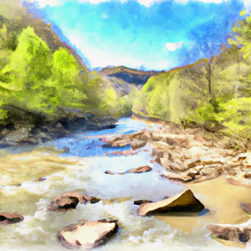
The Tea Creek to Three Forks section of the Whitewater River in West Virginia is a popular destination for kayakers and rafters. The ideal streamflow range for this section is between 300 and 1000 cubic feet per second (cfs), which provides Class III-IV rapids. The segment mileage of this section is approximately 10 miles, starting at the intersection of Route 150 and Tea Creek and ending at the confluence of the Williams and Cranberry Rivers.
Some of the significant rapids and obstacles on this section of the river include Tea Creek Falls, which is a Class V rapid that drops over a 30-foot waterfall. Another notable rapid is Double Drop, which is a Class IV+ rapid that consists of two consecutive drops. There are also several Class III and IV rapids, including Pinball, Big Rock, and Three Forks.
In terms of regulations, all boaters are required to have a personal flotation device (PFD) and a helmet. Additionally, it is essential to note that the river runs through the Monongahela National Forest, and visitors must adhere to all park regulations. Overall, the Tea Creek to Three Forks section of the Whitewater River is an exciting and challenging run that requires skill and experience to navigate safely. Get driving directions.
| Last Updated | 2024-04-25 |
| River Levels | 79 cfs (2.19 ft) |
| Percent of Normal | 46% |
| Reporting Streamgauge | GREENBRIER RIVER AT BUCKEYE, WV |
| Elevation | 2,089 ft. |
| River | Greenbrier-River |
| Watershed | Gauley |
Nearby Camping
| Location | Campsites | Reservations | Toilets | Showers | Elevation |
|---|---|---|---|---|---|
| Beaver Creek - Watoga State Park | Numerous | 2,547 ft | |||
| Holly River State Park | Numerous | 1,695 ft | |||
| Handley WMA | 13 | 3,083 ft | |||
| Blue Bend | 21 | 1,915 ft | |||
| Tea Creek | 28 | 2,983 ft | |||
| Riverside - Watoga State Park | Numerous | 2,037 ft | |||
| Moncove Lake State Park | Numerous | 2,527 ft | |||
| Day Run | 12 | 3,104 ft |
Weather Forecast
