

West-Virginia Whitewater
MCGEE RUN TO .5 MILE ABOVE ROUTE 22
STREAMFLOW: 154 CFS
• Class III-IV River Run
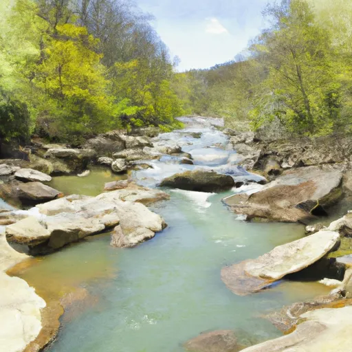
The Whitewater River run McGee Run To .5 Mile Above Route 22 is a popular whitewater rafting destination in West Virginia. The ideal streamflow range for this run is between 1,000-6,000 cfs, with peak flows occurring during the spring months of April and May. The class rating for this run is a III-IV, meaning it is suitable for intermediate to advanced paddlers. The segment mileage for this run is approximately 9 miles, starting at McGee Run and ending half a mile above Route 22.
Some specific river rapids and obstacles to look out for on this run include the famous Big Nasty rapid, which is a challenging Class IV rapid with steep drops and technical moves. There are also several other Class III-IV rapids throughout the run, such as Triple Drop, Sweets Falls, and Diagonal Ledges. Paddlers should be aware of potential hazards such as undercut rocks, strainers, and high water levels.
There are specific regulations and safety guidelines in place for this area, including the requirement for all paddlers to wear personal flotation devices (PFDs) at all times while on the river. Additionally, the use of alcohol or drugs while on the river is strictly prohibited, and all paddlers are encouraged to take a safety course before embarking on this challenging run. Overall, the Whitewater River run McGee Run To .5 Mile Above Route 22 is a thrilling and exciting whitewater adventure for experienced paddlers looking for a challenge. Get driving directions.
| Last Updated | 2024-04-25 |
| River Levels | 23 cfs (0.74 ft) |
| Percent of Normal | 49% |
| Reporting Streamgauge | TYGART VALLEY RIVER NEAR DAILEY, WV |
| Elevation | 1,944 ft. |
| River | Tygart-Valley-River |
| Watershed | Cheat |
Nearby Camping
| Location | Campsites | Reservations | Toilets | Showers | Elevation |
|---|---|---|---|---|---|
| Bird Run | 10 | 2,707 ft | |||
| Blowing Springs | 40 | 1,710 ft | |||
| Laurel Fork | 14 | 3,108 ft |
Weather Forecast
