

Wyoming Whitewater
SOURCE, PICKLE PASS TO CONFLUENCE WITH HOBACK RIVER
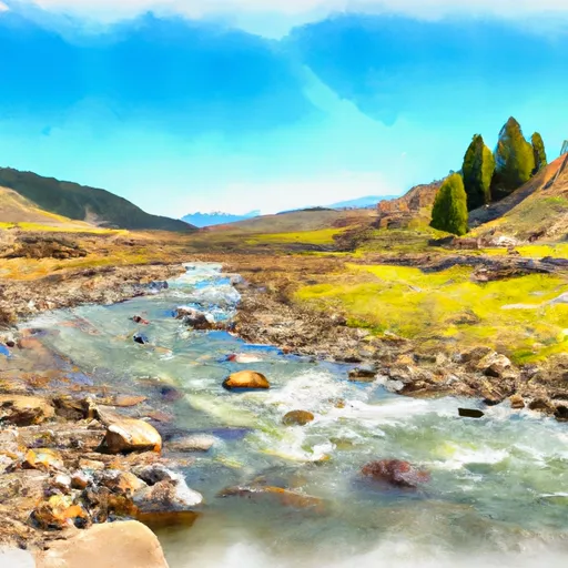
STREAMFLOW: 5,090 CFS
The Whitewater River Run from Pickle Pass to Confluence with Hoback River is a popular destination for whitewater enthusiasts in Wyoming. The ideal streamflow range for this run is typically between 800 - 1500 cfs, depending on the time of year and recent precipitation. The segment mileage is approximately 12 miles, with a class rating of III-IV.
There are several notable rapids and obstacles on this run, including Lunch Counter, Big Kahuna, and The Wall. Lunch Counter is a large wave train that can be especially challenging at higher flows, while Big Kahuna features a large hole that can be difficult to avoid. The Wall is a steep drop that requires precise navigation to avoid potential hazards.
In terms of regulations, boaters should be aware that this section of the river is subject to seasonal closures to protect nesting birds and other wildlife. Additionally, all boaters are required to wear personal flotation devices at all times while on the water.
Get driving directions.
| Last Updated | 2024-04-25 |
| River Levels | 10300 cfs (6.77 ft) |
| Percent of Normal | 100% |
| Reporting Streamgauge | SNAKE RIVER AB RESERVOIR NR ALPINE WY |
| Elevation | 5,696 ft. |
| River | Snake-River |
| Watershed | Greys-Hobock |
Nearby Camping
| Location | Campsites | Reservations | Toilets | Showers | Elevation |
|---|---|---|---|---|---|
| Curtis Canyon | 12 | 7,049 ft | |||
| Cabin Creek | 10 | 5,850 ft | |||
| Forest Park | 12 | 6,947 ft | |||
| Moose Flat | 10 | 6,415 ft | |||
| Elbow | 7 | 5,779 ft | |||
| Hoback | 16 | 6,185 ft | |||
| Kozy | 8 | 6,350 ft |
Weather Forecast
