Lake Pillsbury Nr Potter Vly 24Hr Avg
Reservoir Levels • Weather • Hydrology
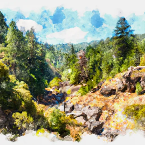
Lake Pillsbury is located in northern California near Potter Valley. It was formed in 1921 by the construction of Scott Dam on the Eel River. The lake is primarily fed by the Eel River and its tributaries, and it serves as a vital source of water for agricultural and recreational uses downstream. The hydrology of the lake is heavily influenced by the surrounding snowpack and surface flow from nearby streams. The lake's 24-hour average water level is measured daily to monitor changes in water levels and track precipitation patterns. The lake is used for recreational activities such as boating, fishing, and camping, and it also provides water for agriculture in the nearby Potter Valley. However, in recent years, concerns have been raised about the lake's water levels due to drought conditions and increased demand for water resources in the region.
May 20, 2024
°F
°F
mph
Windspeed
%
Humidity
| 24hr Change | None% |
| Percent of Normal | None% |
| Minimum |
|
| Maximum |
|
| Average |
Explore the Interactive Map
View recreational hotspots like fishing, camping, and parks, alongside climate-related data such as river levels, snowpack, and weather forecasts. Enjoy 3D mapping for an immersive experience, and switch to satellite view for a detailed look at your favorite spots. Simply click, explore, and discover nature like never before!