Little Rock Reservoir
Reservoir Levels • Weather • Hydrology
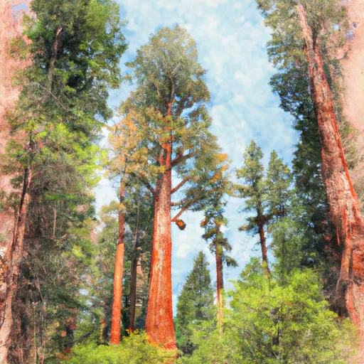
Little Rock Reservoir is a man-made reservoir located in the San Gabriel Mountains of California. Constructed in 1956, the reservoir is fed by runoff from nearby mountains and snowpack during the winter. The reservoir has a capacity of 19,200 acre-feet and serves as a vital source of water for the surrounding communities, including the cities of Palmdale and Lancaster. The surface flow is provided by the Little Rock Creek, which is a tributary of the Mojave River. The snowpack providers include the San Gabriel Mountains and the surrounding areas. Little Rock Reservoir also supports agricultural activities in the surrounding area, including irrigating crops such as grapes, almonds, and pistachios. Recreational activities, such as hiking and fishing, are also popular in the area.
May 20, 2024
°F
°F
mph
Windspeed
%
Humidity
| 24hr Change | None% |
| Percent of Normal | None% |
| Minimum |
|
| Maximum |
|
| Average |
Explore the Interactive Map
View recreational hotspots like fishing, camping, and parks, alongside climate-related data such as river levels, snowpack, and weather forecasts. Enjoy 3D mapping for an immersive experience, and switch to satellite view for a detailed look at your favorite spots. Simply click, explore, and discover nature like never before!