


Pyramid
Reservoir Levels • Weather • Hydrology
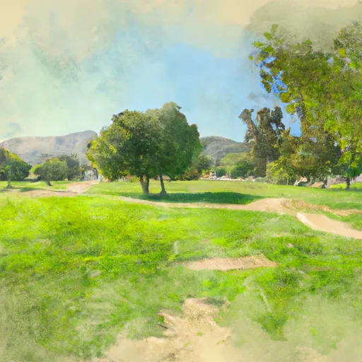
Pyramid Lake is located in the Angeles and Los Padres National Forests in California. It is a reservoir formed by Pyramid Dam on Piru Creek, a tributary of the Santa Clara River. The lake was created in 1972 and is a key source of water for Southern California. The region receives most of its water from snowpack and surface flow from the Sierra Nevada Mountains. The lake also serves as a hub for agricultural irrigation and recreational activities such as boating and fishing. The lake's recreational areas are popular for camping, picnicking, and hiking. Pyramid Lake has been a significant cultural site for Native American tribes for thousands of years and is considered a sacred site. Today, the lake remains an important resource for the people and wildlife of California.
May 20, 2024
°F
°F
mph
Windspeed
%
Humidity
| Storage 24hr Change | 0.21% |
| Percent of Normal | 100% |
| Minimum |
133,667 acre-ft
2008-03-20 |
| Maximum |
170,950 acre-ft
2009-08-07 |
| Average | 164,633 acre-ft |
| Nid_Height | 422 |
| Hydraulic_Height | 380 |
| Drainage_Area | 432 |
| Year_Completed | 1974 |
| Dam_Height | 400 |
| Structural_Height | 422 |
| Primary_Dam_Type | Earth |
| Foundations | Rock |
| Surface_Area | 1290 |
| Hazard_Potential | High |
| Outlet_Gates | Tainter (radial) - 1 |
| Nid_Storage | 171000 |
| River_Or_Stream | Piru Creek |
| Dam_Length | 1090 |
Explore the Interactive Map
View recreational hotspots like fishing, camping, and parks, alongside climate-related data such as river levels, snowpack, and weather forecasts. Enjoy 3D mapping for an immersive experience, and switch to satellite view for a detailed look at your favorite spots. Simply click, explore, and discover nature like never before!

Fishing Areas
You Might Like
Explore Nearby Places
Almondale Park is a popular recreational destination located in the city of Lancaster, California. The park is situated on more than 20 acres of land and features a variety of amenities for visitors. One of the main draws of Almondale Park is its expansive playground, which includes features such as swings, slides, and climbing structures. There are also several picnic areas located throughout the park, making it a great spot for a family outing or group gathering. In addition to its recreational offerings, Almondale Park is also home to a number of interesting points of interest. One of the most ...