


Nantachie Lake near Aloha
Reservoir Levels • Weather • Hydrology
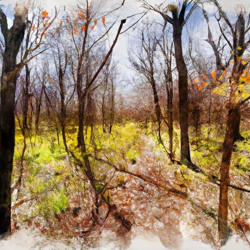
Nantachie Lake is a popular recreational spot located near Aloha, Louisiana. The lake was constructed in the 1930s as part of a flood control project and is managed by the U.S. Army Corps of Engineers. The hydrology of the lake is primarily influenced by surface runoff and precipitation. Nantachie Lake is also fed by snowpack from the surrounding area during the winter months. The lake serves as a water source for agricultural irrigation and is also used for recreational activities such as fishing, boating, and camping. The lake is home to several species of fish, including largemouth bass, catfish, and crappie. Overall, Nantachie Lake is a valuable natural resource for the community and serves multiple purposes.
May 20, 2024
°F
°F
mph
Windspeed
%
Humidity
| Lake Or Reservoir Water Surface Elevation Above Ngvd 1929, Ft 24hr Change | -0.09% |
| Percent of Normal | 100% |
| Minimum |
91.91 ft
2023-10-17 |
| Maximum |
97.97 ft
2024-05-14 |
| Average | 96 ft |
| Dam_Height | 29 |
| Hydraulic_Height | 23 |
| Drainage_Area | 84 |
| Year_Completed | 1961 |
| Nid_Storage | 35500 |
| Hazard_Potential | Low |
| Structural_Height | 29 |
| Primary_Dam_Type | Earth |
| River_Or_Stream | BAYOU GRAPPE |
| Foundations | Soil |
| Surface_Area | 1580 |
| Outlet_Gates | Slide (sluice gate) |
| Dam_Length | 2690 |
| Nid_Height | 29 |
Explore the Interactive Map
View recreational hotspots like fishing, camping, and parks, alongside climate-related data such as river levels, snowpack, and weather forecasts. Enjoy 3D mapping for an immersive experience, and switch to satellite view for a detailed look at your favorite spots. Simply click, explore, and discover nature like never before!

Fishing Areas
You Might Like
Explore Nearby Places
Fiery Fork State Forest is located in the Ozark region of Missouri and is a popular destination for outdoor enthusiasts, especially hikers and anglers. The forest covers an area of over 11,000 acres and has several natural springs, streams, and ponds that provide habitats for a variety of wildlife, including deer, turkey, and various bird species. One of the main reasons to visit Fiery Fork State Forest is to explore the network of hiking trails that wind through the forest and offer scenic views of the surrounding landscape. The forest is also a popular spot for fishing, with several streams ...