0.0 cfs (0.0%) since yesterday
81.36% of Normal
•
3 Streamgauges
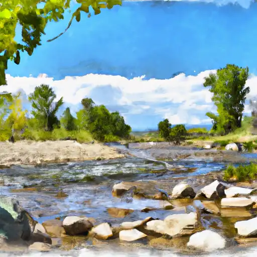
Total streamflow across the
Alamosa River
was last observed at
614
cfs, and is expected to yield approximately
1,218
acre-ft of water today; about 81%
of normal.
Average streamflow for this time of year is
755 cfs,
with recent peaks last observed
on
2017-06-06 when daily discharge volume was observed at
2,373 cfs.
Maximum discharge along the river is currently at the
Alamosa River Below Terrace Reservoir
reporting a streamflow rate of 326.00 cfs.
This is also the highest stage along the Alamosa River, with a gauge stage of
3.79 ft at this location.
This river is monitored from 3 different streamgauging stations along the Alamosa River, the highest being situated at an altitude of 9,403 ft, the
Alamosa River Above Wightman Fork Near Jasper.
Last Updated
2024-05-06
Streamflow
614.0 cfs
Percent of Normal
81.36%
Maximum
2,373.0 cfs
2017-06-06
About the alamosa river
The Alamosa River is a tributary of the Rio Grande in southern Colorado. It stretches 50 miles from its headwaters in the San Juan Mountains to its confluence with the Rio Grande. Historically, the river was used for gold mining and agriculture, but today, it is primarily used for recreation, including fishing and kayaking. The river's hydrology is heavily influenced by snowmelt, which can cause significant flooding during the spring and early summer. There are several reservoirs and dams on the Alamosa River, including Terrace Reservoir and Platoro Reservoir. These reservoirs were built for irrigation purposes and to manage the river's flow for flood control. Despite the use of the river for recreation and agriculture, efforts are being made to improve water quality and habitat for fish and wildlife.