-8.39 cfs (-4.52%) since yesterday
99.03% of Normal
•
2 Streamgauges
Total streamflow across the
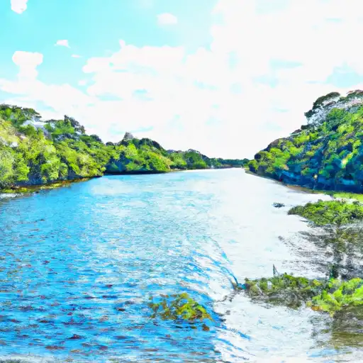
Apalachee River
was last observed at
177
cfs, and is expected to yield approximately
351
acre-ft of water today; about 99%
of normal.
Average streamflow for this time of year is
179 cfs,
with recent peaks last observed
on
2024-01-10 when daily discharge volume was observed at
3,967 cfs.
Maximum discharge along the river is currently at the
Apalachee River Near Bostwick
reporting a streamflow rate of 154 cfs.
This is also the highest stage along the Apalachee River, with a gauge stage of
1.99 ft at this location.
This river is monitored from 2 different streamgauging stations along the Apalachee River, the highest being situated at an altitude of 947 ft, the
Apalachee River At Fence Road.
Last Updated
2024-05-07
Streamflow
177.11 cfs
Percent of Normal
99.03%
Maximum
3,967.1 cfs
2024-01-10
About the apalachee river
The Apalachee River is a tributary of the Oconee River that runs through Georgia, USA. The river is approximately 98 miles long and has a drainage area of about 1,070 square miles. The river was named after the Apalachee Indians, who were indigenous to the area. The river has several reservoirs and dams, including the Jackson Lake, which was created by the Lloyd Shoals Dam. Other notable dams include the High Falls Dam, Lake Varner Dam, and Hard Labor Creek Dam. These dams serve as important sources of hydroelectric power, irrigation, and flood control for surrounding communities. The river also supports various recreational activities such as fishing, boating, and camping. Additionally, the Apalachee River is a vital water source for agricultural activities in the region.