Maximum discharge along the river is currently at the
reporting a streamflow rate of cfs.
This is also the highest stage along the Aransas River, with a gauge stage of
ft at this location.
This river is monitored from 1 different streamgauging stations along the Aransas River, the highest being situated at an altitude of ft, the
.
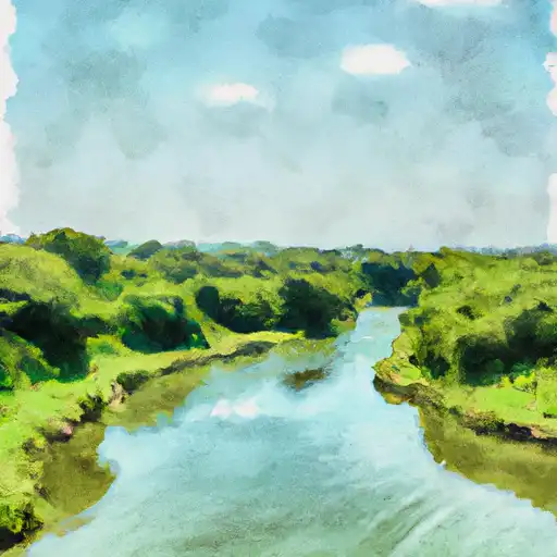
About the aransas river
The Aransas River is a 130-mile-long waterway in southern Texas. It takes its name from the Aransas National Wildlife Refuge which is located along the river. Historically, the river has been an important water source for the region's ranchers and farmers. It begins in Karnes County and flows into the Gulf of Mexico near Aransas Pass. The river's hydrology is influenced by its two main tributaries, the San Antonio River and the Guadalupe River. The river is also home to several reservoirs and dams, including the Choke Canyon Reservoir and the Lake Corpus Christi. These reservoirs are important sources of water for both agricultural and recreational purposes. Fishing, boating, and camping are popular recreational activities on the river. The Aransas River and its surrounding ecosystem are home to a diverse range of plant and animal species.