-23.5 cfs (-7.12%) since yesterday
36.17% of normal
•
Very Low
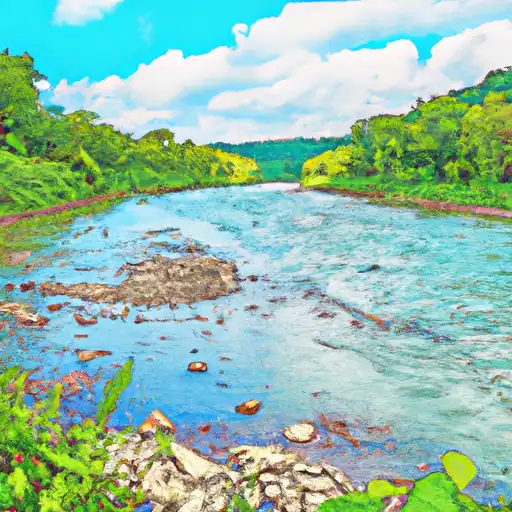
Total streamflow across the
Bluestone River
was last observed at
307
cfs, and is expected to yield approximately
608
acre-ft of water today; about 36%
of normal.
River levels are low and may signify a drought.
Average streamflow for this time of year is
848 cfs,
with recent peaks last observed
on
2015-03-05 when daily discharge volume was observed at
16,130 cfs.
Maximum discharge along the river is currently at the
Bluestone River Near Pipestem
reporting a streamflow rate of 264 cfs.
This is also the highest stage along the Bluestone River, with a gauge stage of
3.43 ft at this location.
This river is monitored from 2 different streamgauging stations along the Bluestone River, the highest being situated at an altitude of 2,360 ft, the
Bluestone River At Falls Mills.
Last Updated
2024-04-30
Streamflow
306.6 cfs
Percent of Normal
36.17%
Maximum
16,130.0 cfs
2015-03-05
About the bluestone river
The Bluestone River is a river in the Appalachian Mountains of eastern West Virginia and southwestern Virginia. The river stretches for about 77 miles, beginning in Virginia and flowing into West Virginia. It was once an important transportation route for timber, coal, and other resources. The Bluestone Dam, located in West Virginia, was constructed in the late 1940s for flood control and hydroelectric power generation. The dam created the Bluestone Lake, a popular destination for boating and fishing. The river and surrounding area also provide opportunities for hiking, camping, and wildlife viewing. Agricultural uses along the river include grazing and hay production. Overall, the Bluestone River has played an important role in the history and development of the region, and continues to provide valuable recreational and economic opportunities.