Maximum discharge along the river is currently at the
reporting a streamflow rate of cfs.
This is also the highest stage along the Bogue Chitto River, with a gauge stage of
ft at this location.
This river is monitored from 1 different streamgauging stations along the Bogue Chitto River, the highest being situated at an altitude of ft, the
.
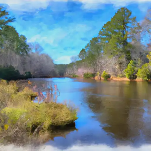
About the bogue chitto river
The Bogue Chitto River is a 65-mile-long river that flows through Mississippi and Louisiana. The river has a rich history, as it was used for transportation by Native Americans and later by European settlers. The river's hydrology is highly influenced by rainfall, with peak flow occurring in the winter and spring months. There are several reservoirs and dams along the river, including the Holmesville Dam and the Enon Bridge Dam. These structures assist in flood control and provide water for irrigation and drinking. Recreational activities on the Bogue Chitto River include fishing, swimming, and canoeing. The river also supports agricultural uses, as it provides water for farming and ranching operations in the surrounding areas.