Maximum discharge along the river is currently at the
reporting a streamflow rate of cfs.
This is also the highest stage along the Bois Brule River, with a gauge stage of
ft at this location.
This river is monitored from 1 different streamgauging stations along the Bois Brule River, the highest being situated at an altitude of ft, the
.
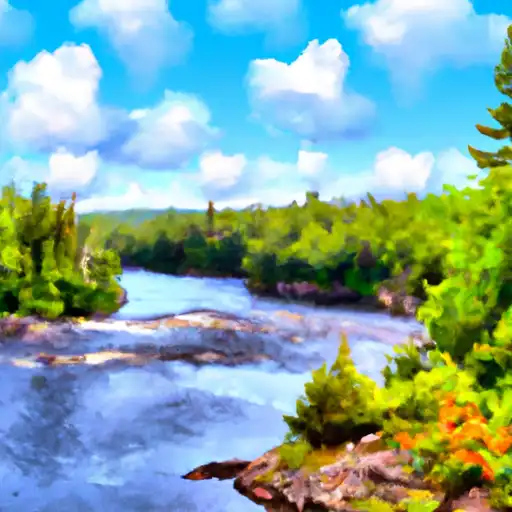
About the bois brule river
The Bois Brule River is a 54-mile-long river located in Douglas County, Wisconsin, USA. Historically, the river served as a transportation route for fur traders and was also used for logging. Today, the river is a popular destination for recreational activities such as fishing, canoeing, and camping. The river's hydrology is influenced by both groundwater and surface water, with the river being fed by numerous springs and tributaries. The river flows through several reservoirs, including the St. Croix Flowage and the Gordon Flowage, which are maintained by dams for hydropower generation and flood control. Additionally, the river is used for agricultural irrigation through the use of irrigation wells. The Bois Brule River is an important natural resource in Northern Wisconsin, providing both economic and recreational benefits to the community.