+1937.8 cfs (+35.9%) since yesterday
56.89% of normal
•
Low
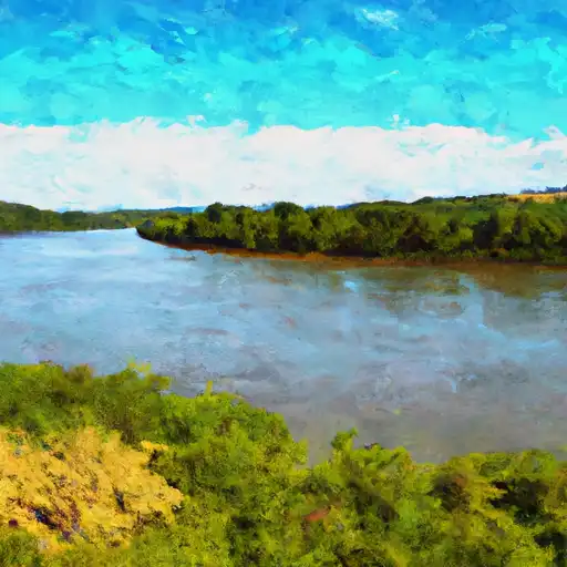
Total streamflow across the
Canadian River
was last observed at
7,335
cfs, and is expected to yield approximately
14,550
acre-ft of water today; about 57%
of normal.
River levels are low and may signify a drought.
Average streamflow for this time of year is
12,895 cfs,
with recent peaks last observed
on
2015-05-26 when daily discharge volume was observed at
317,535 cfs.
Maximum discharge along the river is currently at the
Canadian River At Calvin
reporting a streamflow rate of 6,000 cfs.
However, the streamgauge with the highest stage along the river is the
Canadian River At Norman
with a gauge stage of 87.02 ft.
This river is monitored from 10 different streamgauging stations along the Canadian River, the highest being situated at an altitude of 5,648 ft, the
Canadian River Near Taylor Springs.
Last Updated
2024-04-28
Streamflow
7,335.43 cfs
Percent of Normal
56.89%
Maximum
317,535.0 cfs
2015-05-26
About the canadian river
The Canadian River is a major river in the southern Great Plains of North America, flowing eastward from Colorado and New Mexico into Texas and Oklahoma. The river is approximately 906 miles long and was named by Spanish explorers after an encounter with indigenous tribes. The Canadian River has been a vital source of water for irrigation and agriculture for centuries. Today, the river provides water for many communities, including the cities of Oklahoma City and Amarillo. Notable reservoirs along the river include Ute Lake, Conchas Lake, and Lake Meredith. The riverside also serves as a popular recreational destination, with opportunities for camping, fishing, and boating. However, the Canadian River has also been subject to drought and water management issues, leading to conflicts over water rights between states and users.