+26.77 cfs (+10.44%) since yesterday
33.51% of normal
•
Very Low
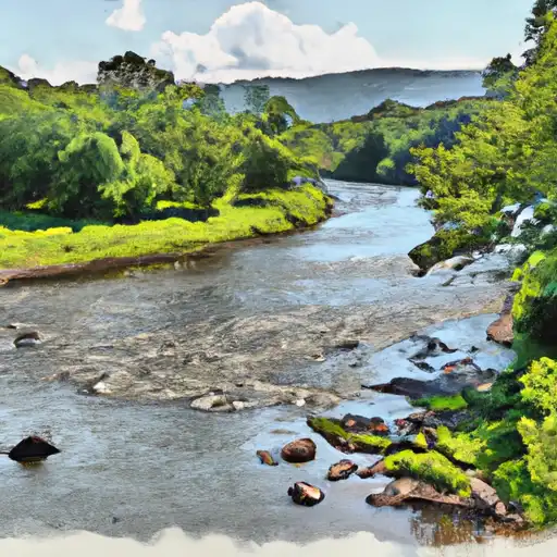
Total streamflow across the
Canisteo River
was last observed at
283
cfs, and is expected to yield approximately
562
acre-ft of water today; about 34%
of normal.
River levels are low and may signify a drought.
Average streamflow for this time of year is
845 cfs,
with recent peaks last observed
on
2021-08-19 when daily discharge volume was observed at
13,146 cfs.
Maximum discharge along the river is currently at the
Canisteo River At West Cameron Ny
reporting a streamflow rate of 190 cfs.
This is also the highest stage along the Canisteo River, with a gauge stage of
4.14 ft at this location.
This river is monitored from 3 different streamgauging stations along the Canisteo River, the highest being situated at an altitude of 1,309 ft, the
Canisteo River At Arkport Ny.
Last Updated
2024-05-06
Streamflow
283.2 cfs
Percent of Normal
33.51%
Maximum
13,146.0 cfs
2021-08-19
About the canisteo river
The Canisteo River is a 76-mile-long river located in western New York State. The river flows through the counties of Steuben and Allegany and eventually empties into the Cohocton River. Historically, the river played an important role in the development of the region's timber and agriculture industries. The river is fed by several tributaries and has a watershed area of about 589 square miles. Two major reservoirs, the Canisteo Reservoir and the Greenwood Lake, have been constructed on the river to provide water supply and flood control. The river is also used for recreational activities such as fishing, boating, and camping. Agriculture is another significant industry in the Canisteo River watershed, with dairy farming being the most common agricultural activity.