Maximum discharge along the river is currently at the
reporting a streamflow rate of cfs.
This is also the highest stage along the Cheoah River, with a gauge stage of
ft at this location.
This river is monitored from 1 different streamgauging stations along the Cheoah River, the highest being situated at an altitude of ft, the
.
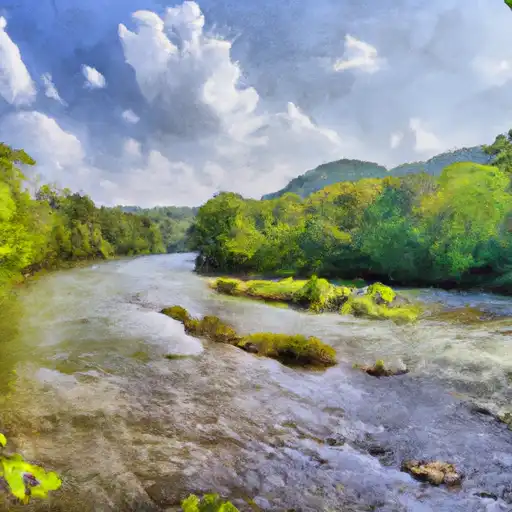
About the cheoah river
The Cheoah River is a 19-mile long river that runs through the western part of North Carolina. The river has a rich history and was once used for transportation of goods such as lumber and coal. The river flows through a hydroelectric power complex and is known for its whitewater rafting opportunities. The Santeetlah Dam and Lake, which are part of the Tennessee Valley Authority, are located on the Cheoah River. The dam was constructed in the 1930s and provides hydroelectric power to the region. The lake is also used for recreational activities such as fishing and boating. The Cheoah River is used for agricultural purposes, including irrigation and livestock watering, in the surrounding areas.