-61.9 cfs (-4.94%) since yesterday
76.09% of Normal
•
7 Streamgauges
Total streamflow across the
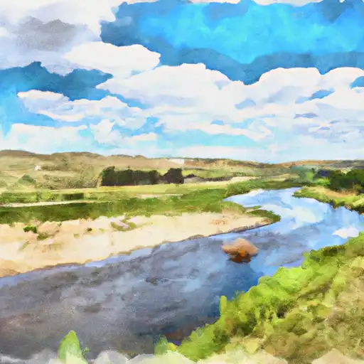
Cheyenne River
was last observed at
1,191
cfs, and is expected to yield approximately
2,362
acre-ft of water today; about 76%
of normal.
Average streamflow for this time of year is
1,565 cfs,
with recent peaks last observed
on
2019-05-23 when daily discharge volume was observed at
89,511 cfs.
Maximum discharge along the river is currently at the
Cheyenne R Near Plainview Sd
reporting a streamflow rate of 797 cfs.
However, the streamgauge with the highest stage along the river is the
Cheyenne River At Redshirt
with a gauge stage of 9.72 ft.
This river is monitored from 7 different streamgauging stations along the Cheyenne River, the highest being situated at an altitude of 3,582 ft, the
Cheyenne River Near Spencer.
Last Updated
2024-05-06
Streamflow
1,190.9 cfs
Percent of Normal
76.09%
Maximum
89,511.0 cfs
2019-05-23
About the cheyenne river
The Cheyenne River is a tributary of the Missouri River, with a length of 295 miles. It has played an important role in the history of the Cheyenne people, who used it for transportation and hunting. The river originates in the Black Hills of South Dakota and flows through the Cheyenne River Indian Reservation before joining the Missouri River. There are several dams and reservoirs along the river, including the Angostura Dam and Reservoir, which is used for irrigation and recreation, and the Belle Fourche Dam, which provides flood control and hydroelectric power. The river is also used for agriculture, particularly for grazing livestock. The Cheyenne River is an important source of water for the surrounding communities and plays a significant role in the ecological and economic well-being of the region.