+17.2 cfs (+244.67%) since yesterday
145.66% of Normal
•
2 Streamgauges
Total streamflow across the
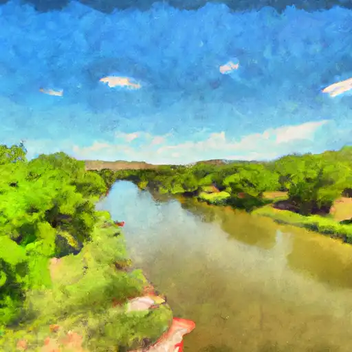
Concho River
was last observed at
24
cfs, and is expected to yield approximately
48
acre-ft of water today; about 146%
of normal.
River levels are high.
Average streamflow for this time of year is
17 cfs,
with recent peaks last observed
on
2023-05-13 when daily discharge volume was observed at
902 cfs.
Maximum discharge along the river is currently at the
Concho Rv At Paint Rock
reporting a streamflow rate of 17.2 cfs.
This is also the highest stage along the Concho River, with a gauge stage of
12.75 ft at this location.
This river is monitored from 2 different streamgauging stations along the Concho River, the highest being situated at an altitude of 1,800 ft, the
Concho Rv At San Angelo.
Last Updated
2024-05-02
Streamflow
24.23 cfs
Percent of Normal
145.66%
Maximum
902.0 cfs
2023-05-13
About the concho river
The Concho River is a 76-mile-long river located in west-central Texas. The river's name comes from the numerous shells, or conch, found along its banks. The river has a rich history dating back to the 1700s, with the first European exploration in the area conducted by Spanish explorers. The Concho River is a tributary of the Colorado River and is fed by numerous springs and creeks. The river is home to two major reservoirs: the O.H. Ivie Reservoir and the Twin Buttes Reservoir. These reservoirs provide water for irrigation and municipal use in the surrounding areas. The Concho River also has significant recreational use, with activities such as fishing, boating, and swimming popular among visitors. Additionally, the river and surrounding area support various agricultural activities, including livestock grazing and crop production.