-26.0 cfs (-2.58%) since yesterday
97.56% of Normal
•
2 Streamgauges
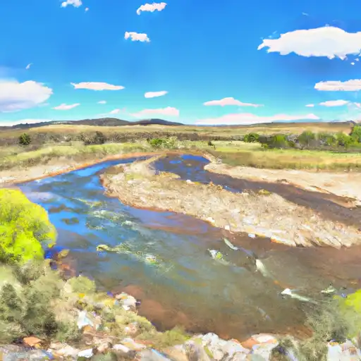
Total streamflow across the
Conejos River
was last observed at
980
cfs, and is expected to yield approximately
1,944
acre-ft of water today; about 98%
of normal.
Average streamflow for this time of year is
1,005 cfs,
with recent peaks last observed
on
2019-06-30 when daily discharge volume was observed at
2,624 cfs.
Maximum discharge along the river is currently at the
Conejos River Near Mogote
reporting a streamflow rate of 749.00 cfs.
This is also the highest stage along the Conejos River, with a gauge stage of
3.76 ft at this location.
This river is monitored from 2 different streamgauging stations along the Conejos River, the highest being situated at an altitude of 9,883 ft, the
Conejos River Below Platoro Reservoir.
Last Updated
2024-05-06
Streamflow
980.0 cfs
Percent of Normal
97.56%
Maximum
2,624.0 cfs
2019-06-30
About the conejos river
The Conejos River originates in the San Juan Mountains of Colorado and flows through the Conejos Valley, eventually joining the Rio Grande in New Mexico. It stretches for 92 miles and has a rich history as a vital water source for early settlers and Native American tribes. The river supports several reservoirs, including the Platoro Reservoir and the Terrace Reservoir, which were built for irrigation and flood control purposes. These reservoirs also provide recreational activities such as fishing, boating, and camping. The Conejos River is also used for agricultural purposes, supporting the growth of hay, alfalfa, and other crops in the surrounding valley. The river's flow is heavily influenced by snowmelt and precipitation, with peak flows occurring in late spring and early summer.