Maximum discharge along the river is currently at the
reporting a streamflow rate of cfs.
This is also the highest stage along the Cossatot River, with a gauge stage of
ft at this location.
This river is monitored from 1 different streamgauging stations along the Cossatot River, the highest being situated at an altitude of ft, the
.
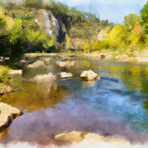
About the cossatot river
The Cossatot River is a 89-kilometer-long waterway in Arkansas, United States. It is a popular destination for kayaking and fishing due to its scenic beauty and challenging rapids. The river has a rich history, having been used by indigenous tribes for centuries and later becoming a site of conflict during the Civil War. The Cossatot River is fed by several small tributaries and flows into the Little River. It also serves as the primary source of water for several reservoirs, including Gillham Lake and DeQueen Lake. These reservoirs aid in flood control and provide water for irrigation and recreational activities. The river's hydrology is affected by the presence of several dams, including the Gillham Dam, which was constructed in 1928. Despite its industrial uses, the Cossatot River remains an important natural resource in Arkansas.