-510.0 cfs (-3.13%) since yesterday
71.33% of normal
•
Low
Total streamflow across the
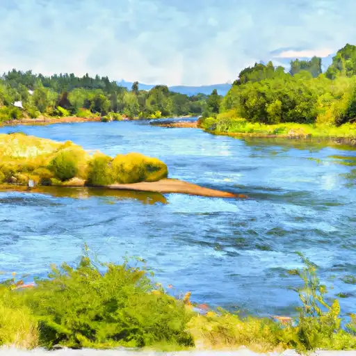
Cowlitz River
was last observed at
15,780
cfs, and is expected to yield approximately
31,299
acre-ft of water today; about 71%
of normal.
Average streamflow for this time of year is
22,124 cfs,
with recent peaks last observed
on
2020-02-07 when daily discharge volume was observed at
95,120 cfs.
Maximum discharge along the river is currently at the
Cowlitz River At Castle Rock
reporting a streamflow rate of 7,750 cfs.
This is also the highest stage along the Cowlitz River, with a gauge stage of
34.47 ft at this location.
This river is monitored from 4 different streamgauging stations along the Cowlitz River, the highest being situated at an altitude of 1,053 ft, the
Cowlitz River At Packwood.
Last Updated
2024-05-03
Streamflow
15,780.0 cfs
Percent of Normal
71.33%
Maximum
95,120.0 cfs
2020-02-07
About the cowlitz river
The Cowlitz River is a 105-mile-long river in southwestern Washington, originating from the glaciers of Mount Rainier National Park. Historically, the river was used for fishing and transportation by indigenous peoples. Today, it is a major source of hydroelectric power, with several major dams and reservoirs along its course, including Mayfield Dam and Riffe Lake. These dams have greatly affected the river's hydrology and the surrounding agricultural land by controlling flooding and providing irrigation. The Cowlitz River is also a popular recreational destination, with opportunities for fishing, boating, and hiking in the surrounding forests and mountains. The river is home to several species of salmon and steelhead, and efforts are being made to restore and protect their populations.