Maximum discharge along the river is currently at the
reporting a streamflow rate of cfs.
This is also the highest stage along the Crawfish River, with a gauge stage of
ft at this location.
This river is monitored from 1 different streamgauging stations along the Crawfish River, the highest being situated at an altitude of ft, the
.
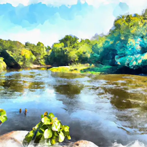
About the crawfish river
The Crawfish River is a 77-mile-long river in southeastern Wisconsin, USA. The river was named after the crawfish, which used to be abundant in the area. The river flows through Dodge and Jefferson counties, and its source is in the town of Lebanon. The river empties into the Rock River in the city of Jefferson.
The hydrology of the Crawfish River includes several reservoirs and dams, including Lake Koshkonong, which is the largest lake on the river. Other reservoirs include Indian Lake and Mud Lake. These reservoirs are used for both recreational activities such as fishing and boating, as well as for agricultural irrigation.
In the past, the Crawfish River was used for transportation of goods, and several mills were built along its banks. Today, the river is a popular destination for fishing and boating enthusiasts, with several public access points along its length.