-366.0 cfs (-14.48%) since yesterday
102.41% of Normal
•
3 Streamgauges
Total streamflow across the
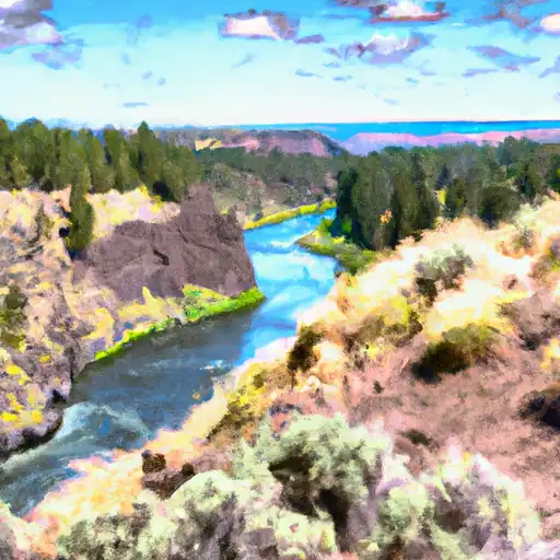
Crooked River
was last observed at
2,162
cfs, and is expected to yield approximately
4,288
acre-ft of water today; about 102%
of normal.
Average streamflow for this time of year is
2,111 cfs,
with recent peaks last observed
on
2021-06-26 when daily discharge volume was observed at
12,971 cfs.
Maximum discharge along the river is currently at the
Crooked River Below Opal Springs
reporting a streamflow rate of 1,680 cfs.
However, the streamgauge with the highest stage along the river is the
Crooked River Near Richmond
with a gauge stage of 8.82 ft.
This river is monitored from 3 different streamgauging stations along the Crooked River, the highest being situated at an altitude of 2,195 ft, the
Crooked River Blw Osborne Canyon.
Last Updated
2024-05-05
Streamflow
2,162.0 cfs
Percent of Normal
102.41%
Maximum
12,971.0 cfs
2021-06-26
About the crooked river
The Crooked River is located in central Oregon and runs for approximately 125 miles. The river's hydrology has been significantly altered by the construction of dams and reservoirs, including the Bowman Dam and the Prineville Reservoir. These structures have helped to regulate water flow and provide irrigation for agriculture in the area. The Crooked River is also a popular recreational destination, with opportunities for fishing, hiking, and camping. The river has a rich history, having been used by Native American tribes for thousands of years and serving as a crucial resource for early settlers and pioneers. Today, the Crooked River remains an important part of the region's economy and ecology, supporting diverse wildlife and providing vital water resources for local communities.