+78.0 cfs (+5.2%) since yesterday
38.99% of normal
•
Very Low
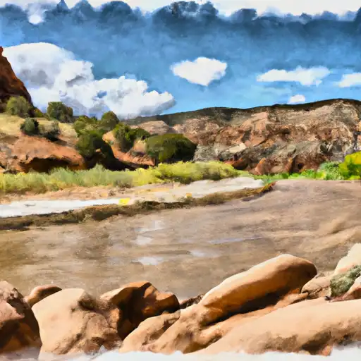
Total streamflow across the
Dolores River
was last observed at
1,578
cfs, and is expected to yield approximately
3,130
acre-ft of water today; about 39%
of normal.
River levels are low and may signify a drought.
Average streamflow for this time of year is
4,047 cfs,
with recent peaks last observed
on
2023-05-19 when daily discharge volume was observed at
33,680 cfs.
Maximum discharge along the river is currently at the
Dolores River At Dolores
reporting a streamflow rate of 608 cfs.
However, the streamgauge with the highest stage along the river is the
Dolores River Near Cisco
with a gauge stage of 7.9 ft.
This river is monitored from 7 different streamgauging stations along the Dolores River, the highest being situated at an altitude of 8,421 ft, the
Dolores River Below Rico.
Last Updated
2024-05-03
Streamflow
1,578.0 cfs
Percent of Normal
38.99%
Maximum
33,680.0 cfs
2023-05-19
About the dolores river
The Dolores River is a tributary of the Colorado River, located in southwestern Colorado, United States. The river is approximately 250 miles long and has a drainage area of about 4,000 square miles. The river was historically used by the Ancestral Puebloans and later by Spanish explorers. The Dolores River has several reservoirs and dams, including the McPhee Dam and Reservoir which provides water for agricultural use in the area. The river also has significant recreational use, including rafting and fishing. The Dolores River is known for its scenic beauty and is an important habitat for wildlife, including several species of fish and birds. The river has faced environmental threats from oil and gas development, along with drought and climate change.