Maximum discharge along the river is currently at the
reporting a streamflow rate of cfs.
This is also the highest stage along the Driftwood River, with a gauge stage of
ft at this location.
This river is monitored from 1 different streamgauging stations along the Driftwood River, the highest being situated at an altitude of ft, the
.
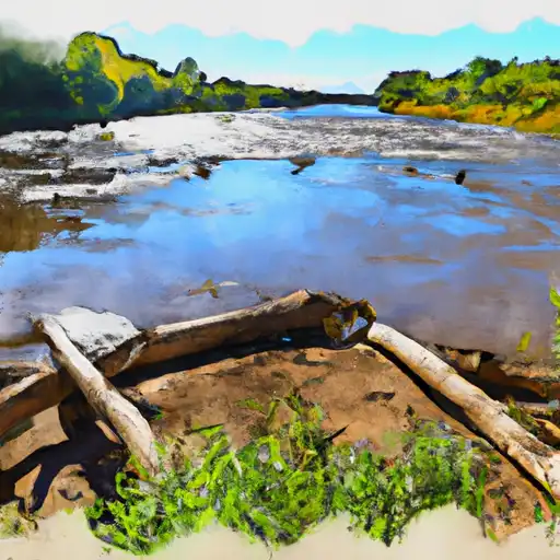
About the driftwood river
The Driftwood River is a tributary of the White River in southern Indiana, USA. It flows for approximately 80 miles through Brown, Bartholomew, Jackson, and Lawrence counties before joining the White River near Seymour. The river is named after the many pieces of driftwood that flow along its current. The river has a long history of agricultural use and was once used for logging and water transportation. Today, it is primarily used for recreational activities such as fishing, canoeing, and camping. The river is also home to several reservoirs and dams, including Lake Lemon, which was created in 1953 and is a popular spot for boating and fishing. Other notable reservoirs include Griffy Lake and Salt Creek Reservoir. Despite its many uses, the river faces challenges such as invasive species and pollution.