-356.0 cfs (-49.72%) since yesterday
75.06% of Normal
•
4 Streamgauges
Total streamflow across the
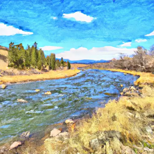
Duchesne River
was last observed at
360
cfs, and is expected to yield approximately
714
acre-ft of water today; about 75%
of normal.
Average streamflow for this time of year is
480 cfs,
with recent peaks last observed
on
2011-07-02 when daily discharge volume was observed at
22,840 cfs.
Maximum discharge along the river is currently at the
Duchesne River Near Randlett
reporting a streamflow rate of 184 cfs.
This is also the highest stage along the Duchesne River, with a gauge stage of
5.84 ft at this location.
This river is monitored from 4 different streamgauging stations along the Duchesne River, the highest being situated at an altitude of 6,197 ft, the
Duchesne River Near Tabiona.
Last Updated
2024-05-04
Streamflow
360.0 cfs
Percent of Normal
75.06%
Maximum
22,840.0 cfs
2011-07-02
About the duchesne river
The Duchesne River flows through the Uinta Mountains in northeastern Utah, USA. The river is approximately 90 miles long and has a watershed area of 1,277 square miles. The river's hydrology is sourced from snowmelt and precipitation, making it an important source of water for irrigation and municipal use. The river also has several reservoirs and dams, including the Duchesne River Diversion Dam, the Rock Creek Dam, and the Starvation Reservoir. These structures provide water storage and regulate the flow of water downstream. The Duchesne River is a popular spot for outdoor recreational activities like fishing, boating, and camping. The river also supports agricultural activities such as hay, grain, and cattle production.