0.0 cfs (0.0%) since yesterday
24.23% of normal
•
Very Low
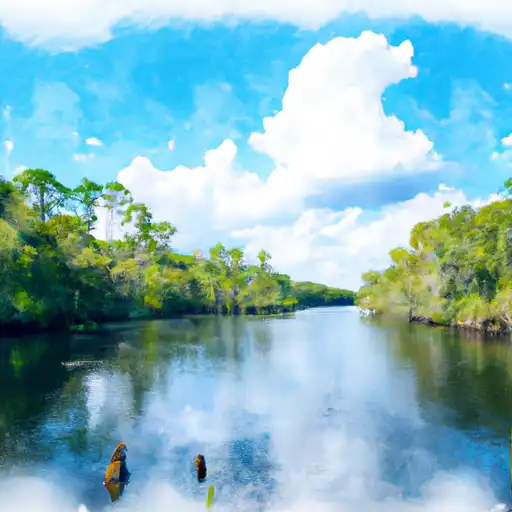
Total streamflow across the
Econlockhatchee River
was last observed at
41
cfs, and is expected to yield approximately
81
acre-ft of water today; about 24%
of normal.
River levels are low and may signify a drought.
Average streamflow for this time of year is
168 cfs,
with recent peaks last observed
on
2017-09-13 when daily discharge volume was observed at
18,160 cfs.
Maximum discharge along the river is currently at the
Econlockhatchee River Nr Oviedo
reporting a streamflow rate of 40.6 cfs.
This is also the highest stage along the Econlockhatchee River, with a gauge stage of
10.79 ft at this location.
This river is monitored from 2 different streamgauging stations along the Econlockhatchee River, the highest being situated at an altitude of 42 ft, the
Econlockhatchee River Nr Oviedo.
Last Updated
2024-04-28
Streamflow
40.6 cfs
Percent of Normal
24.23%
Maximum
18,160.0 cfs
2017-09-13
About the econlockhatchee river
The Econlockhatchee River is a 54-mile-long river located in Central Florida. The river has a rich history with Native American tribes and was first mapped by Spanish explorers in the 16th century. The river's hydrology is characterized by a slow-moving current and a mix of freshwater and saltwater. There are several reservoirs and dams along the river, including the Lake Pickett Dam and the Lake Mills Dam, which serve as sources of freshwater for the surrounding agricultural lands. The river is also a popular destination for recreational activities such as fishing, boating, and camping. Additionally, the river's watershed is home to several endangered species, including the Florida manatee and the bald eagle.