Maximum discharge along the river is currently at the
reporting a streamflow rate of cfs.
This is also the highest stage along the False River, with a gauge stage of
ft at this location.
This river is monitored from 1 different streamgauging stations along the False River, the highest being situated at an altitude of ft, the
.
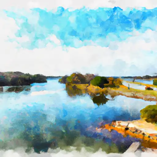
About the false river
The False River is a 7.5-mile long oxbow lake that was once a bend in the Mississippi River. It was cut off from the river in the early 1700s and has since become a popular recreational spot in Louisiana. The lake is surrounded by a mix of residential and agricultural land, and it provides water for irrigation and serves as a popular fishing spot. False River is also known for its hydroelectric and flood control dams, including the Pointe Coupee Dam and the False River Dam. The lake has a rich history, having served as a hub for trade and transportation in the 1800s. Today, it remains a popular destination for boating, water sports, and fishing.