-1570.0 cfs (-12.37%) since yesterday
42.27% of normal
•
Very Low
Total streamflow across the
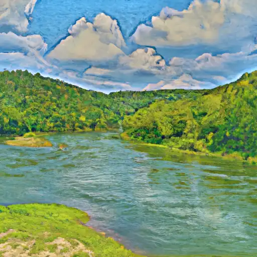
Gasconade River
was last observed at
11,120
cfs, and is expected to yield approximately
22,056
acre-ft of water today; about 42%
of normal.
River levels are low and may signify a drought.
Average streamflow for this time of year is
26,306 cfs,
with recent peaks last observed
on
2015-12-30 when daily discharge volume was observed at
282,000 cfs.
Maximum discharge along the river is currently at the
Gasconade River Near Rich Fountain
reporting a streamflow rate of 5,020 cfs.
This is also the highest stage along the Gasconade River, with a gauge stage of
5.63 ft at this location.
This river is monitored from 3 different streamgauging stations along the Gasconade River, the highest being situated at an altitude of 845 ft, the
Gasconade River Near Hazelgreen.
Last Updated
2024-05-06
Streamflow
11,120.0 cfs
Percent of Normal
42.27%
Maximum
282,000.0 cfs
2015-12-30
About the gasconade river
The Gasconade River is a 280-mile-long river in central Missouri, USA. It was named after the Gasconade people who originally lived in the area. The river is a popular destination for fishing, canoeing, and camping. The hydrology of the Gasconade River is characterized by seasonal variations in flow, with high levels during spring and summer due to snowmelt and precipitation. The river has four main reservoirs/dams: Bagnell Dam, Harry S. Truman Dam, Pomme de Terre Dam, and Lake of the Ozarks Dam. These dams provide flood control, power generation, and recreational opportunities. The Gasconade River watershed is also an important agricultural area, with corn, soybeans, and livestock being the primary agricultural products.