Maximum discharge along the river is currently at the
reporting a streamflow rate of cfs.
This is also the highest stage along the Homosassa River, with a gauge stage of
ft at this location.
This river is monitored from 0 different streamgauging stations along the Homosassa River, the highest being situated at an altitude of ft, the
.
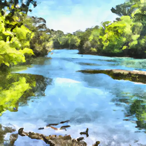
About the homosassa river
The Homosassa River is located in western Florida and is approximately 7.5 miles long. It is fed by numerous springs, including the Homosassa Springs, which is now a state park. The river has a rich history, having been used by Native Americans, Spanish explorers, and early settlers for transportation and fishing. Today, it is a popular destination for boating, fishing, and wildlife viewing. The river is also used for irrigation and agriculture, and there are several dams and reservoirs along its length, including the Homosassa Dam and the Chassahowitzka River Reservoir. The hydrology of the river is affected by seasonal rainfall and water flow, which can impact the ecosystem and recreational opportunities in the area.