Maximum discharge along the river is currently at the
reporting a streamflow rate of cfs.
This is also the highest stage along the Hood River, with a gauge stage of
ft at this location.
This river is monitored from 1 different streamgauging stations along the Hood River, the highest being situated at an altitude of ft, the
.
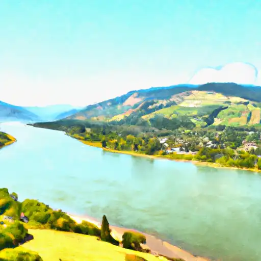
About the hood river
The Hood River is a 45-mile-long tributary of the Columbia River in Oregon. It was named after the nearby Mount Hood and has a rich history of Native American settlements, logging, and fruit orchards. The river is fed by glaciers and snowmelt from the Cascade Range, making it popular for kayaking and whitewater rafting. There are two major reservoirs on the river, the Bonneville Dam and the Hood River Reservoir, which provide hydroelectric power and drinking water to nearby communities. The river also plays an important role in agriculture, as it irrigates orchards and vineyards in the Hood River Valley. Recreational activities such as windsurfing and kiteboarding are also popular on the river, with the town of Hood River being a hub for these sports.