Maximum discharge along the river is currently at the
reporting a streamflow rate of cfs.
This is also the highest stage along the Johns River, with a gauge stage of
ft at this location.
This river is monitored from 1 different streamgauging stations along the Johns River, the highest being situated at an altitude of ft, the
.
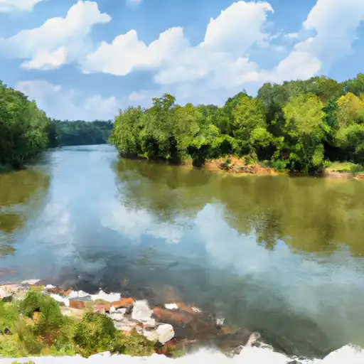
About the johns river
The Johns River is a major river in western North Carolina, stretching about 214 miles from its source in the Blue Ridge Mountains to its confluence with the Catawba River. The river is named after explorer John Barnwell, who discovered it in the early 1700s. The Johns River flows through several reservoirs, including Lake James, Lake Rhodhiss, and Lake Hickory, which were created by hydroelectric dams to generate power for the surrounding communities. These reservoirs provide drinking water, recreation, and economic benefits to the region. The river also plays a vital role in agriculture, providing irrigation water for farms and supporting the growth of crops such as corn, soybeans, and tobacco. Despite some environmental concerns, the Johns River remains an important resource for the people of western North Carolina.