-1122.0 cfs (-8.08%) since yesterday
130.95% of Normal
•
6 Streamgauges
Total streamflow across the
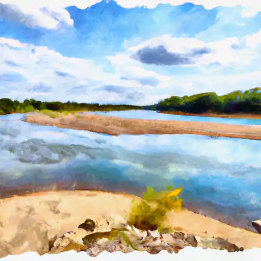
Kansas River
was last observed at
12,764
cfs, and is expected to yield approximately
25,317
acre-ft of water today; about 131%
of normal.
River levels are high.
Average streamflow for this time of year is
9,747 cfs,
with recent peaks last observed
on
2024-04-29 when daily discharge volume was observed at
30,997 cfs.
Maximum discharge along the river is currently at the
Kansas R At Topeka
reporting a streamflow rate of 4,090 cfs.
However, the streamgauge with the highest stage along the river is the
Kansas R Nr Belvue
with a gauge stage of 10.79 ft.
This river is monitored from 6 different streamgauging stations along the Kansas River, the highest being situated at an altitude of 1,038 ft, the
Kansas R At Fort Riley.
Last Updated
2024-05-04
Streamflow
12,764.0 cfs
Percent of Normal
130.95%
Maximum
30,997.0 cfs
2024-04-29
About the kansas river
The Kansas River is around 148 miles long and runs through Kansas from Junction City to Kansas City. It was an essential water source for Native Americans and European settlers, facilitating trade and transportation. The river's hydrology has been altered by human activities such as damming and levee construction. Some of the significant reservoirs/dams on the river include the Tuttle Creek Dam, Milford Dam, and Perry Dam. These structures provide flood control, hydroelectric power, and water supply. The river is used for various recreational activities such as fishing, boating, and canoeing. Additionally, agriculture is a major industry on the river, with farmers using the river's water to irrigate crops. The river also plays a significant role in providing water for municipal and industrial uses.