-720.0 cfs (-6.65%) since yesterday
56.98% of normal
•
Low
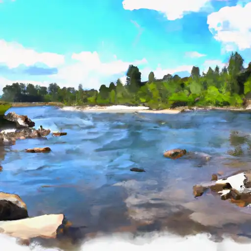
Total streamflow across the
Kettle River
was last observed at
10,110
cfs, and is expected to yield approximately
20,053
acre-ft of water today; about 57%
of normal.
River levels are low and may signify a drought.
Average streamflow for this time of year is
17,745 cfs,
with recent peaks last observed
on
2018-05-12 when daily discharge volume was observed at
60,900 cfs.
Maximum discharge along the river is currently at the
Kettle River Near Laurier
reporting a streamflow rate of 6,440 cfs.
However, the streamgauge with the highest stage along the river is the
Kettle River Near Ferry
with a gauge stage of 13.12 ft.
This river is monitored from 3 different streamgauging stations along the Kettle River, the highest being situated at an altitude of 1,846 ft, the
Kettle River Near Ferry.
Last Updated
2024-05-03
Streamflow
10,110.0 cfs
Percent of Normal
56.98%
Maximum
60,900.0 cfs
2018-05-12
About the kettle river
The Kettle River is a 175-mile-long river that flows through Minnesota's Pine and Carlton Counties, then crosses the border into northeastern Minnesota, where it flows through the St. Louis County, Itasca, and Koochiching Counties. The river was named after the Native American word "Gaa-zhiigwanaabikokaag" which means "river abundant with boiling kettles." The river has been used for logging, farming, and transportation in the past. Today, it is a popular spot for recreational activities such as fishing, boating, camping, and hiking. There are several reservoirs/dams, including the Sturgeon Lake Dam and the Big Falls Dam, that serve hydroelectric power and flood control purposes. The river is also used for agricultural irrigation.